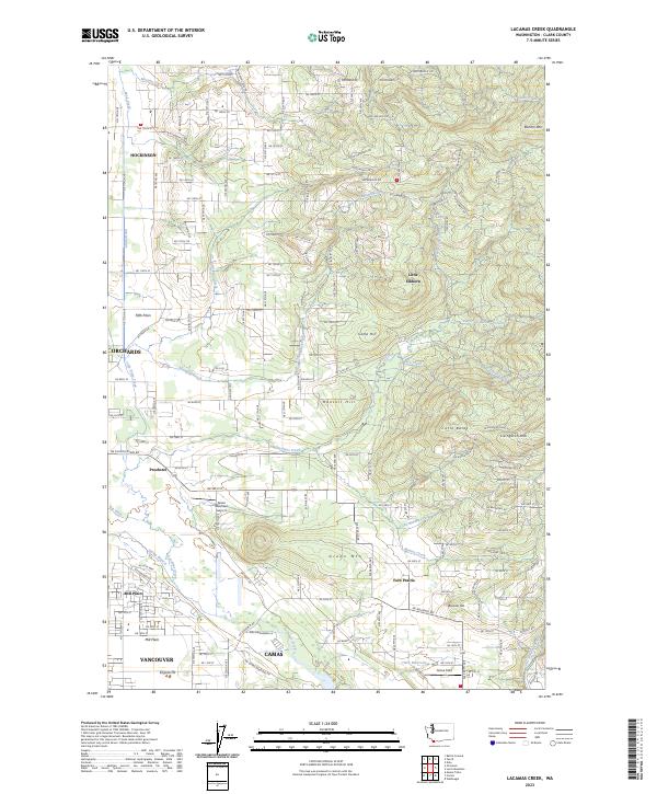
2023 Map of Lacamas Creek
USGS Topo · Published 2023About this map
Hockinson and Orchards anchor the northern and western margins of this Clark County landscape, where the flatlands of the Fifth Plain meet the rising foothills of the Cascade Range. The drainage of Lacamas Creek serves as the central geographic spine, winding through a complex topography that includes Munsell Hill and Green Mountain. The map details a transition from the suburban outskirts of Vancouver and the industrial edges of Camas to the more open, rural character of Fern Prairie and Proebstel.
Find a feature on this map
161 named features on this map. Tap any name to fly to it.
Don’t see what you’re looking for? This feature index may not catch every label — zoom into the map to look around manually.
Map Details
Editions of this 2023 Lacamas Creek Map
This is the sole edition of this map. No revisions or reprints were ever made.
Other maps of this area

1897 · Portland
USGS Topo · 1:62,500

1905 · Portland
USGS Topo · 1:62,500

1918 · Troutdale
USGS Topo · 1:62,500

1934 · Troutdale
USGS Topo · 1:48,000

1940 · Portland
USGS Topo · 1:62,500

1940 · La Center
USGS Topo · 1:62,500

1941 · Yacolt
USGS Topo · 1:62,500

1941 · Camas
USGS Topo · 1:62,500

1942 · Camas
USGS Topo · 1:62,500

1948 · Vancouver
USGS Topo · 1:250,000