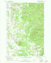
1954 Map of Lacamas Creek
USGS Topo · Published 1971About this map
Camp Bonneville Military Reservation dominates the eastern foothills of this Clark County landscape, where the wooded slopes of Livingston Mountain and Little Baldy meet organized military installations like Camp Hill, Camp Bonneville, and Camp Killpack. The lowlands to the west reveal a network of rural settlements and agricultural infrastructure, including the communities of Hockinson and Proebstel. Early water management is evident through the presence of the China Ditch and Big Ditch, which directed water through the Mill Plain area toward Lacamas Lake.
Find a feature on this map
39 named features on this map. Tap any name to fly to it.
Don’t see what you’re looking for? This feature index may not catch every label — zoom into the map to look around manually.
Map Details
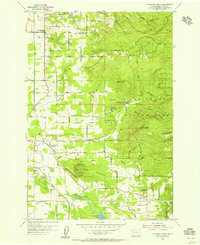
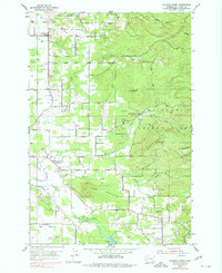
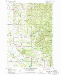
Editions of this 1954 Lacamas Creek Map
4 editions found
Other maps of this area

1897 · Portland
USGS Topo · 1:62,500

1905 · Portland
USGS Topo · 1:62,500

1918 · Troutdale
USGS Topo · 1:62,500

1934 · Troutdale
USGS Topo · 1:48,000

1940 · Portland
USGS Topo · 1:62,500

1940 · La Center
USGS Topo · 1:62,500

1941 · Yacolt
USGS Topo · 1:62,500

1941 · Camas
USGS Topo · 1:62,500

1942 · Camas
USGS Topo · 1:62,500

1948 · Vancouver
USGS Topo · 1:250,000