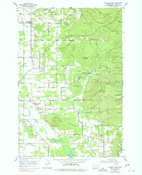
1954 Map of Lacamas Creek
USGS Topo · Published 1977About this map
The Camp Bonneville Military Reservation dominates the eastern hills of this landscape, a significant federal presence established within the drainage of the East Fork and North Fork of the Salmon Creek. This survey, based on 1951 aerial photography with 1970s updates, captures the transition between the agricultural operations of Mill Plain and the rising timbered slopes of Livingston Mtn and Green Mountain.
Find a feature on this map
36 named features on this map. Tap any name to fly to it.
Don’t see what you’re looking for? This feature index may not catch every label — zoom into the map to look around manually.
Map Details
Editions of this 1954 Lacamas Creek Map
4 editions found
Other maps of this area

1897 · Portland
USGS Topo · 1:62,500

1905 · Portland
USGS Topo · 1:62,500

1918 · Troutdale
USGS Topo · 1:62,500

1934 · Troutdale
USGS Topo · 1:48,000

1940 · Portland
USGS Topo · 1:62,500

1940 · La Center
USGS Topo · 1:62,500

1941 · Yacolt
USGS Topo · 1:62,500

1941 · Camas
USGS Topo · 1:62,500

1942 · Camas
USGS Topo · 1:62,500

1948 · Vancouver
USGS Topo · 1:250,000