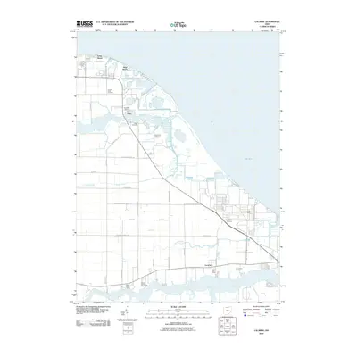
2010 Map of Lacarne
USGS Topo · Published 2010About this map
Lake Erie defines the northern coastline of this Ottawa County landscape, where the Toussaint River and Rusha Creek drain into the lake's southwestern basin. Near the shore, the residential enclaves of Long Beach and Sand Beach sit adjacent to Locust Point, a locale featuring the Locust Point Cemetery and Witts Orchards. This area highlights the transition from Lake Erie's maritime influences to the inland agricultural and civic life of the township.
Find a feature on this map
42 named features on this map. Tap any name to fly to it.
Don’t see what you’re looking for? This feature index may not catch every label — zoom into the map to look around manually.
Map Details
Editions of this 2010 Lacarne Map
This is the sole edition of this map. No revisions or reprints were ever made.
Other maps of this area

1900 · Oak Harbor
USGS Topo · 1:62,500

1901 · Put-In-Bay
USGS Topo · 1:62,500

1901 · Bellevue
USGS Topo · 1:62,500

1901 · Fremont
USGS Topo · 1:62,500

1903 · Bellevue
USGS Topo · 1:62,500

1903 · Fremont
USGS Topo · 1:62,500

1903 · Put In Bay
USGS Topo · 1:62,500

1952 · Oak Harbor
USGS Topo · 1:24,000

1952 · Lacarne
USGS Topo · 1:24,000

1952 · Oak Harbor
USGS Topo · 1:62,500