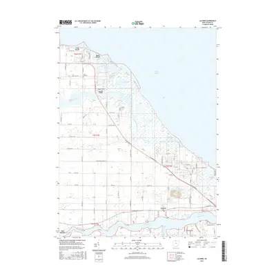
2016 Map of Lacarne
USGS Topo · Published 2016About this map
The Lake Erie shoreline of Ottawa County dominates this landscape, defined by an intricate network of wetlands and coastal marshes. Large protected areas such as the Navarre Marsh and Toussaint Marsh illustrate the environmental character of the region, where the Toussaint River and Rusha Cr meet the lake. These wetlands are punctuated by lakefront developments like Long Beach, Sand Beach, and Paradise Acres, which sit narrowly between the marshes and the open water.
Find a feature on this map
100 named features on this map. Tap any name to fly to it.
Don’t see what you’re looking for? This feature index may not catch every label — zoom into the map to look around manually.
Map Details
Editions of this 2016 Lacarne Map
This is the sole edition of this map. No revisions or reprints were ever made.
Other maps of this area

1900 · Oak Harbor
USGS Topo · 1:62,500

1901 · Put-In-Bay
USGS Topo · 1:62,500

1901 · Bellevue
USGS Topo · 1:62,500

1901 · Fremont
USGS Topo · 1:62,500

1903 · Bellevue
USGS Topo · 1:62,500

1903 · Fremont
USGS Topo · 1:62,500

1903 · Put In Bay
USGS Topo · 1:62,500

1952 · Oak Harbor
USGS Topo · 1:24,000

1952 · Lacarne
USGS Topo · 1:24,000

1952 · Oak Harbor
USGS Topo · 1:62,500