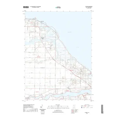
2019 Map of Lacarne
USGS Topo · Published 2019About this map
Navarre Marsh and Toussaint Marsh dominate the low-lying shoreline of Lake Erie in this coastal Ottawa County landscape. This 2019 survey illustrates a complex environment where the Toussaint River and Rusha Cr meet the lake, shaping a shoreline defined by seasonal inundation and specialized land use. To the north, the recreational and residential clusters of Long Beach, Sand Beach, and Paradise Acres occupy the narrow strips of higher ground between the marshes and the open water.
Find a feature on this map
71 named features on this map. Tap any name to fly to it.
Don’t see what you’re looking for? This feature index may not catch every label — zoom into the map to look around manually.
Map Details
Editions of this 2019 Lacarne Map
This is the sole edition of this map. No revisions or reprints were ever made.
Other maps of this area

1900 · Oak Harbor
USGS Topo · 1:62,500

1901 · Put-In-Bay
USGS Topo · 1:62,500

1901 · Bellevue
USGS Topo · 1:62,500

1901 · Fremont
USGS Topo · 1:62,500

1903 · Bellevue
USGS Topo · 1:62,500

1903 · Fremont
USGS Topo · 1:62,500

1903 · Put In Bay
USGS Topo · 1:62,500

1952 · Oak Harbor
USGS Topo · 1:24,000

1952 · Lacarne
USGS Topo · 1:24,000

1952 · Oak Harbor
USGS Topo · 1:62,500