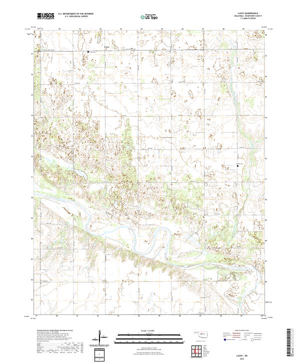
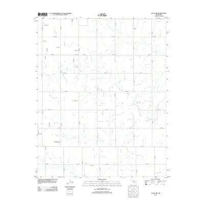
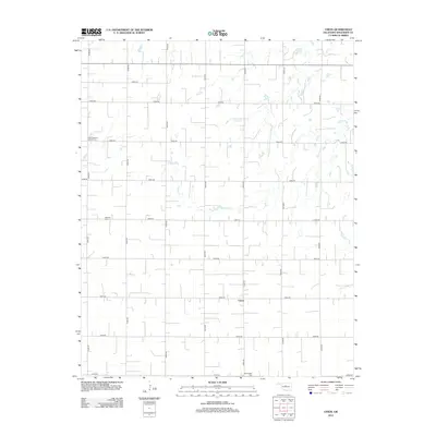
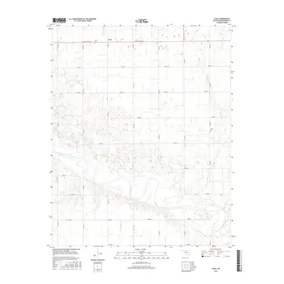
2022 Map of Lacey
USGS Topo · Published 2022About this map
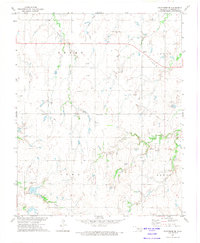
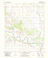
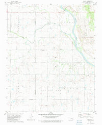
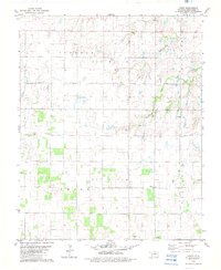
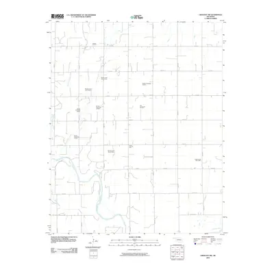
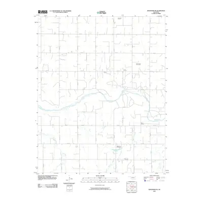
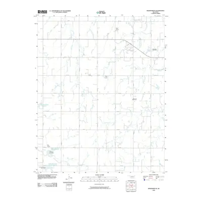
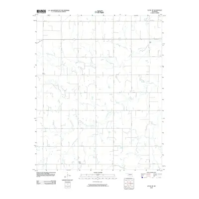
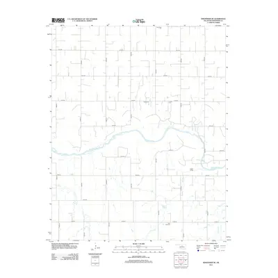
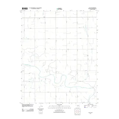
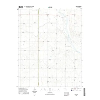
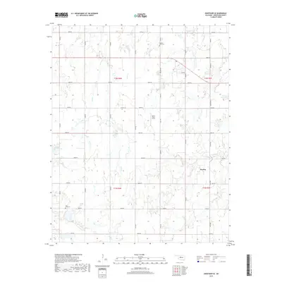
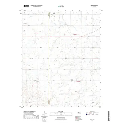
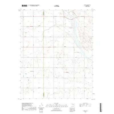
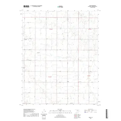
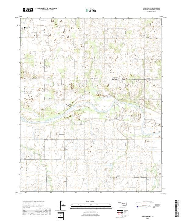
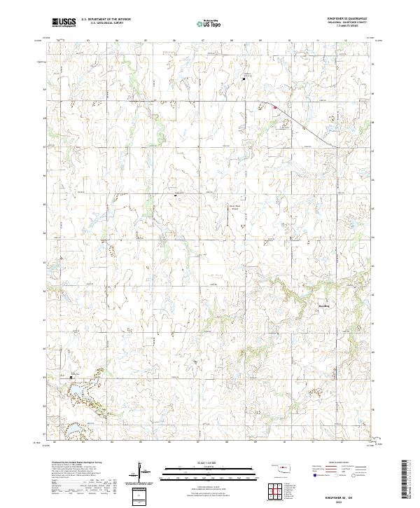
The Cimarron River winds through the southern half of this landscape, its wide, braided channel carving through the agricultural plains of Kingfisher County. The small community of Lacey serves as the central focal point in the northern portion of the quadrangle, anchored by its namesake Lacey Cem situated just west of the main settlement. The land is defined by a rigorous grid of section lines, with roads such as W Jack Choate Ave and N2800 Rd providing structure to the surrounding farmland.
Find a feature on this map
26 named features on this map. Tap any name to fly to it.
Don’t see what you’re looking for? This feature index may not catch every label — zoom into the map to look around manually.
Map Details
Editions of this 2022 Lacey Map
This is the sole edition of this map. No revisions or reprints were ever made.
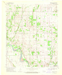
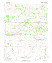
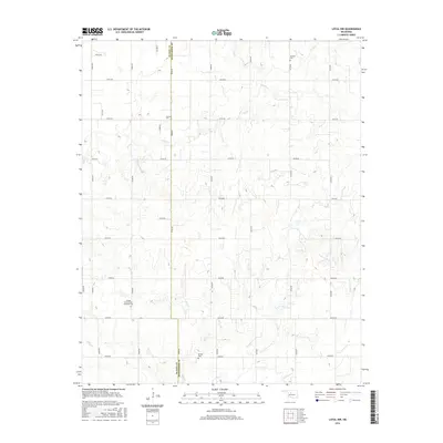
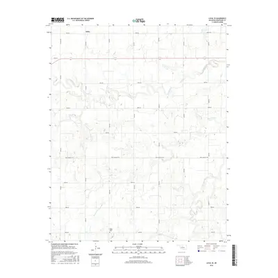
Historical Maps of Lacey Through Time
55 maps found
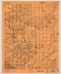
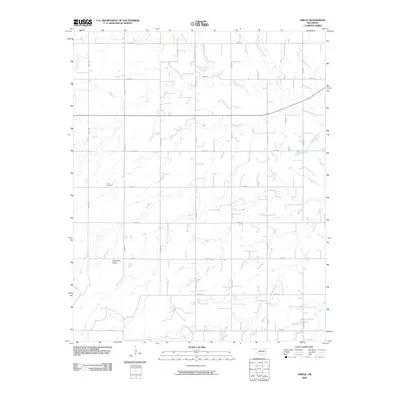
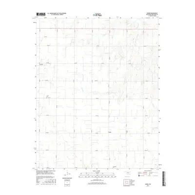
1893 Omega
Kingfisher County, OK
1969 Crescent NW
Kingfisher County, OK
1972 Kingfisher NE
Kingfisher County, OK
1972 Kingfisher SE
Kingfisher County, OK
1972 Loyal NW
Kingfisher County, OK
1972 Loyal SE
Kingfisher County, OK
1972 Omega
Kingfisher County, OK
1982 Lacey
Kingfisher County, OK
1982 Parvin
Kingfisher County, OK
1982 Union
Kingfisher County, OK
2009 Crescent NW
Kingfisher County, OK
2009 Kingfisher NE
Kingfisher County, OK
2009 Kingfisher SE
Kingfisher County, OK
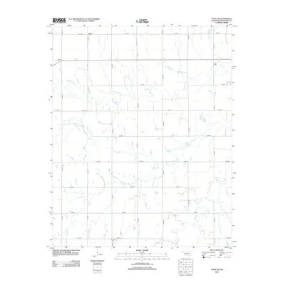
2009 Lacey
Kingfisher County, OK
2009 Loyal NW
Kingfisher County, OK
2009 Loyal SE
Kingfisher County, OK
2009 Omega
Kingfisher County, OK
2009 Union
Kingfisher County, OK
2010 Parvin
Kingfisher County, OK
2012 Crescent NW
Kingfisher County, OK
2012 Kingfisher NE
Kingfisher County, OK
2012 Kingfisher SE
Kingfisher County, OK
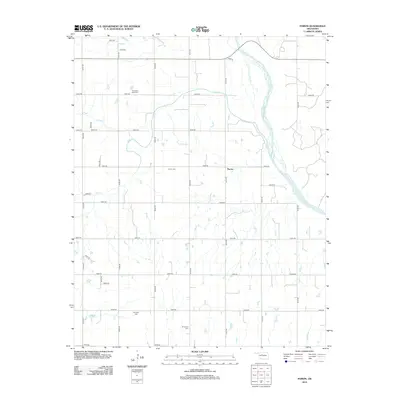
2012 Lacey
Kingfisher County, OK
2012 Loyal NW
Kingfisher County, OK
2012 Loyal SE
Kingfisher County, OK
2012 Omega
Kingfisher County, OK
2012 Parvin
Kingfisher County, OK
2012 Union
Kingfisher County, OK
2016 Crescent NW
Kingfisher County, OK
2016 Kingfisher NE
Kingfisher County, OK
2016 Kingfisher SE
Kingfisher County, OK
2016 Lacey
Kingfisher County, OK
2016 Loyal NW
Kingfisher County, OK
2016 Loyal SE
Kingfisher County, OK
2016 Omega
Kingfisher County, OK
2016 Parvin
Kingfisher County, OK
2016 Union
Kingfisher County, OK
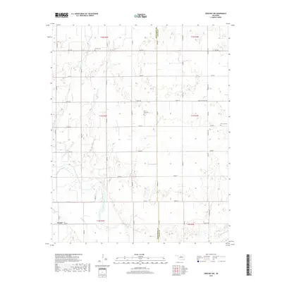
2018 Crescent NW
Kingfisher County, OK
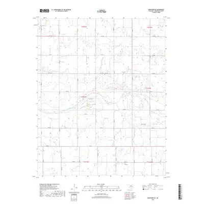
2018 Kingfisher NE
Kingfisher County, OK
2018 Kingfisher SE
Kingfisher County, OK
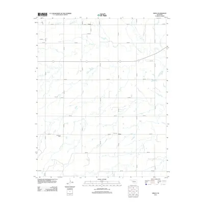
2018 Lacey
Kingfisher County, OK
2018 Loyal NW
Kingfisher County, OK
2018 Loyal SE
Kingfisher County, OK
2018 Omega
Kingfisher County, OK
2018 Parvin
Kingfisher County, OK
2018 Union
Kingfisher County, OK
2022 Crescent NW
Kingfisher County, OK
2022 Kingfisher NE
Kingfisher County, OK
2022 Kingfisher SE
Kingfisher County, OK
2022 Lacey
Kingfisher County, OK
2022 Loyal NW
Kingfisher County, OK
2022 Loyal SE
Kingfisher County, OK
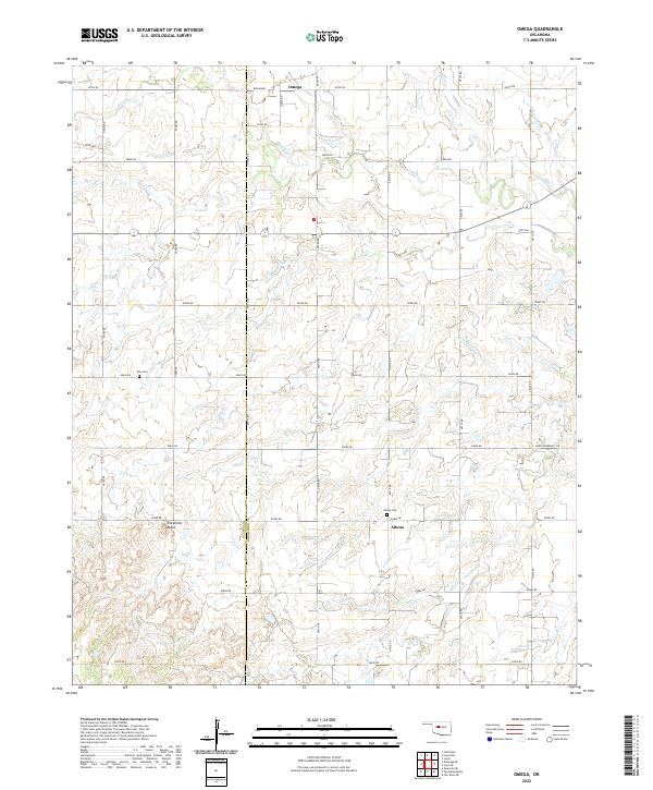
2022 Omega
Kingfisher County, OK
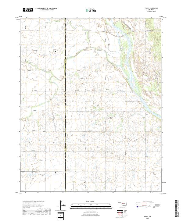
2022 Parvin
Kingfisher County, OK
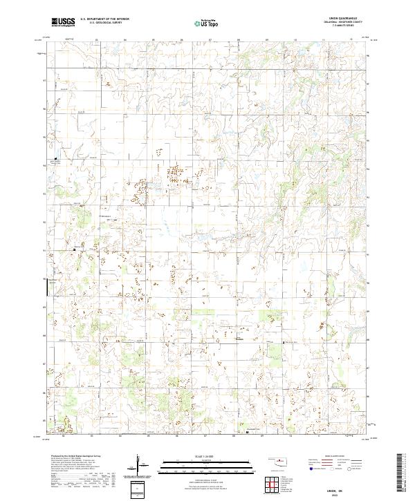
2022 Union
Kingfisher County, OK