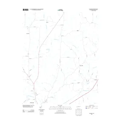
2013 Map of Laconia
USGS Topo · Published 2013About this map
The Loosahatchie River Canal and Big Muddy Canal define the hydrology of this Fayette County landscape, reflecting the region's historical efforts to manage drainage and agriculture. In the southwestern corner, the town of Somerville serves as a primary hub, while the surrounding territory is dotted with smaller communities and named locales such as Yum Yum, Liberty Hill, and Miller. The terrain is punctuated by Pontotoc Hill and several water bodies including Marsh Lake and Wells Land Company Lake. Rural life is anchored by landmarks like Joyners Campground and the community at Taylor Chapel, connected by a network of local roads such as Old Jackson Rd and Old Brownsville Rd. This survey illustrates the persistent rural character of the Tennessee interior, where local place names and family-named landmarks provide deep context for genealogists and local historians tracking the evolution of these settlements.
Find a feature on this map
68 named features on this map. Tap any name to fly to it.
Don’t see what you’re looking for? This feature index may not catch every label — zoom into the map to look around manually.
Map Details
Editions of this 2013 Laconia Map
This is the sole edition of this map. No revisions or reprints were ever made.
Other maps of this area

1949 · Moscow
USGS Topo · 1:62,500

1951 · Hickory Valley
USGS Topo · 1:24,000

1952 · Stanton
USGS Topo · 1:24,000

1952 · Lambert
USGS Topo · 1:24,000

1952 · Dancyville
USGS Topo · 1:24,000

1952 · Laconia
USGS Topo · 1:24,000

1952 · Stanton
USGS Topo · 1:62,500

1956 · Blytheville
USGS Topo · 1:250,000

1959 · Blytheville
USGS Topo · 1:250,000

1959 · Whiteville
USGS Topo · 1:24,000