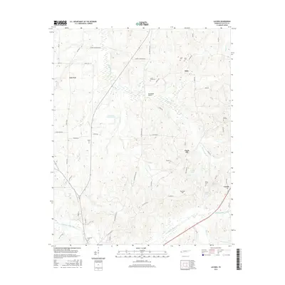
2016 Map of Laconia
USGS Topo · Published 2016About this map
The settlement of Yum Yum and the surrounding agricultural lands of Fayette County are defined by an intricate network of drainage canals and small community centers. To the east, the Big Muddy Canal cuts through Big Muddy Bottom, reflecting historical efforts to manage the low-lying terrain for cultivation. This landscape is dotted with ancestral burial grounds that serve as vital markers for local genealogy, including Taylors Chapel Cem and Miller Cem near the settlement of Miller.
Find a feature on this map
60 named features on this map. Tap any name to fly to it.
Don’t see what you’re looking for? This feature index may not catch every label — zoom into the map to look around manually.
Map Details
Editions of this 2016 Laconia Map
This is the sole edition of this map. No revisions or reprints were ever made.
Other maps of this area

1949 · Moscow
USGS Topo · 1:62,500

1951 · Hickory Valley
USGS Topo · 1:24,000

1952 · Stanton
USGS Topo · 1:24,000

1952 · Lambert
USGS Topo · 1:24,000

1952 · Dancyville
USGS Topo · 1:24,000

1952 · Laconia
USGS Topo · 1:24,000

1952 · Stanton
USGS Topo · 1:62,500

1956 · Blytheville
USGS Topo · 1:250,000

1959 · Blytheville
USGS Topo · 1:250,000

1959 · Whiteville
USGS Topo · 1:24,000