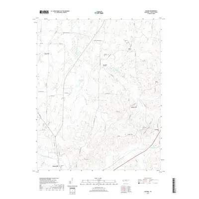
2019 Map of Laconia
USGS Topo · Published 2019About this map
Somerville stands at the southwestern corner of this Fayette County survey, where the Loosahatchie River Canal and Armour Cr define the lowland drainage. The landscape is characterized by a network of modified waterways, including the Big Muddy Canal which cuts through the Big Muddy Bottom, reflecting long-term efforts to manage the local watershed for agriculture. Smaller settlements like the uniquely named Yum Yum and the rural crossroads of Laconia and Liberty Hill are connected by a web of local roads such as Old Brownsville Rd and Old Jackson Rd.
Find a feature on this map
64 named features on this map. Tap any name to fly to it.
Don’t see what you’re looking for? This feature index may not catch every label — zoom into the map to look around manually.
Map Details
Editions of this 2019 Laconia Map
This is the sole edition of this map. No revisions or reprints were ever made.
Other maps of this area

1949 · Moscow
USGS Topo · 1:62,500

1951 · Hickory Valley
USGS Topo · 1:24,000

1952 · Stanton
USGS Topo · 1:24,000

1952 · Lambert
USGS Topo · 1:24,000

1952 · Dancyville
USGS Topo · 1:24,000

1952 · Laconia
USGS Topo · 1:24,000

1952 · Stanton
USGS Topo · 1:62,500

1956 · Blytheville
USGS Topo · 1:250,000

1959 · Blytheville
USGS Topo · 1:250,000

1959 · Whiteville
USGS Topo · 1:24,000