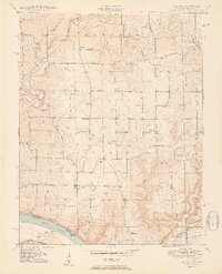
1950 Map of Laconia
USGS Topo · Published 1950About this map
The Ohio River forms a sweeping southern boundary for this portion of Harrison County, serving as the state line between Indiana and Kentucky. The small village of Laconia sits as a central hub, surrounded by a high density of rural burial grounds and family-named landmarks including Beswick Cem, Goshen Cem, and Payton Cem. The landscape is defined by the drainage of Big Buck Creek and Mosquito Creek, where narrow valleys and ridges like Hogback Ridge create a distinct topographic texture.
Find a feature on this map
38 named features on this map. Tap any name to fly to it.
Don’t see what you’re looking for? This feature index may not catch every label — zoom into the map to look around manually.
Map Details
Editions of this 1950 Laconia Map
2 editions found
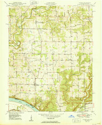
Other maps of this area

1909 · Kosmosdale
USGS Topo · 1:48,000

1912 · Kosmosdale
USGS Topo · 1:62,500
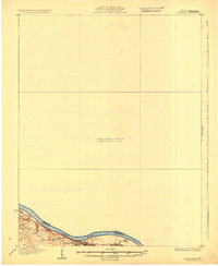
1931 · Corydon
USGS Topo · 1:62,500
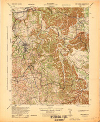
1936 · Vine Grove
USGS Topo · 1:62,500
1941 · Ekron
USGS Topo · 1:62,500
1943 · Vine Grove
USGS Topo · 1:62,500
1944 · Corydon West
USGS Topo · 1:24,000
1946 · Rock Haven
USGS Topo · 1:24,000
1946 · Fort Knox
USGS Topo · 1:24,000
1946 · Vine Grove
USGS Topo · 1:62,500