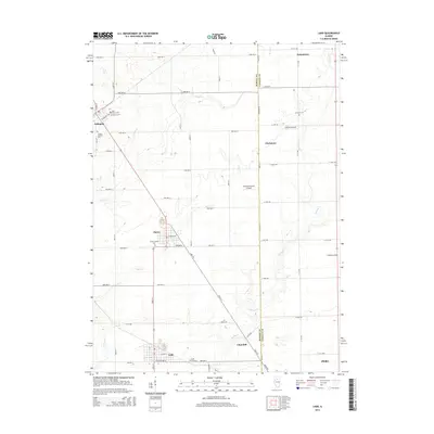
2015 Map of Ladd
USGS Topo · Published 2015About this map
The Bureau and LaSalle county line bisects this Illinois prairie landscape, where the agricultural grid is interrupted by a cluster of coal-era settlements and tributary creeks. In the south, the village of Ladd sits near the Ladd Cemetary, while the community of Cherry serves as a reminder of the region's industrial heritage, notably marked by the Cherry Miner's Cem. These towns, along with Arlington and Churchill, are connected by a network of rural roads such as Plank Rd and Meridian Rd that follow the section lines.
Find a feature on this map
63 named features on this map. Tap any name to fly to it.
Don’t see what you’re looking for? This feature index may not catch every label — zoom into the map to look around manually.
Map Details
Editions of this 2015 Ladd Map
This is the sole edition of this map. No revisions or reprints were ever made.
Other maps of this area

1893 · Hennepin
USGS Topo · 1:62,500

1893 · Lasalle
USGS Topo · 1:62,500

1909 · Hennepin
USGS Topo · 1:62,500

1911 · La Salle
USGS Topo · 1:62,500

1911 · Hennepin
USGS Topo · 1:62,500

1913 · La Salle
USGS Topo · 1:62,500

1947 · La Salle
USGS Topo · 1:62,500

1951 · Amboy
USGS Topo · 1:62,500

1952 · Mendota
USGS Topo · 1:62,500

1958 · Aurora
USGS Topo · 1:250,000