2024 Map of Ladd
USGS Topo · Published 2024About this map
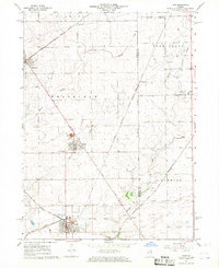
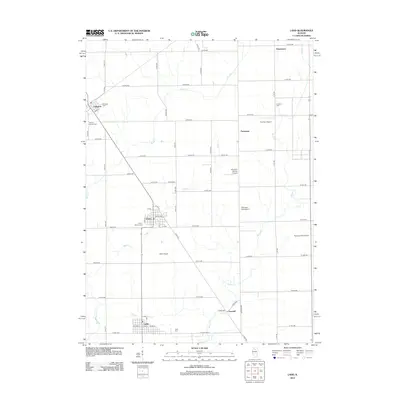
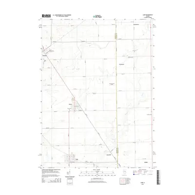
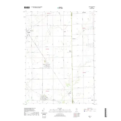
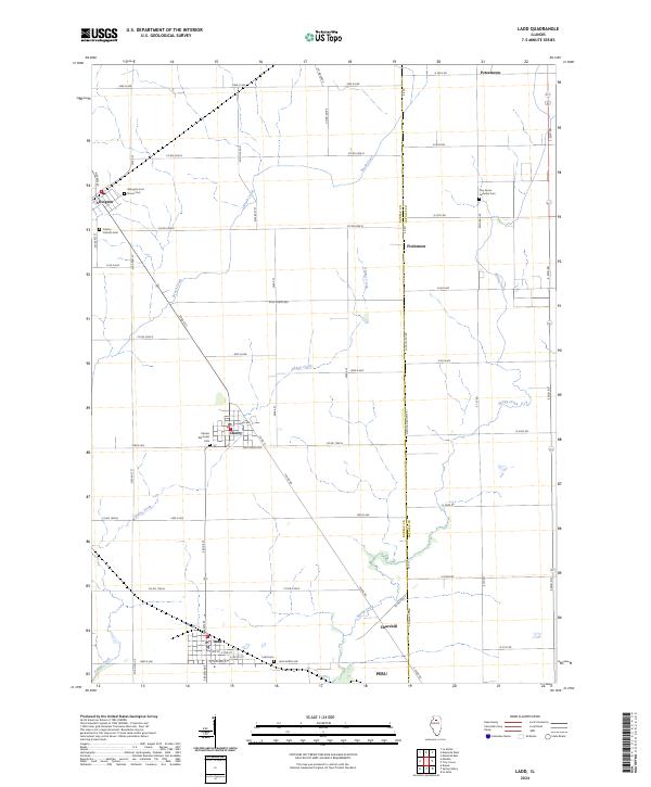
Ladd and the surrounding agricultural landscape of Bureau County are defined by a grid of rural roads and scattered small settlements. The area's coal mining heritage is quietly marked by the Miners Memorial Cem near Cherry, a town established during the region's industrial peak. To the north, Arlington serves as another focal point, accompanied by the Arlington Lost Grove Cem and Calvary Catholic Cem. The landscape is etched by natural drainage systems including Brush Creek, Adams Creek, and Spring Creek, which interrupt the precise layout of section lines and county roads. The eastern boundary is defined by the Bureau Co La Salle Co line along Meridian Rd (3575 E), marking the transition between counties near the hamlets of Fitchmoor and Churchill. For researchers, the distribution of denominational and community burial sites, such as the Troy Grove Lutheran Cem, provides a detailed map of the cultural and ethnic settlement patterns in this part of Illinois.
Find a feature on this map
67 named features on this map. Tap any name to fly to it.
Don’t see what you’re looking for? This feature index may not catch every label — zoom into the map to look around manually.
Map Details
Editions of this 2024 Ladd Map
This is the sole edition of this map. No revisions or reprints were ever made.
Historical Maps of Peru Through Time
6 maps found