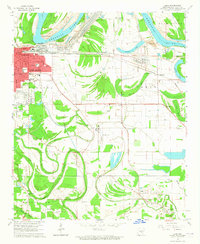
1964 Map of Ladd
USGS Topo · Published 1965About this map
The eastern edges of Pine Bluff meet the sprawling alluvial wetlands of the Arkansas River in this mid-1960s study. The urban grid of the 1st Ward, featuring Southeast High Sch and Indiana St Sch, transitions into a landscape dominated by complex waterways like Bartholomew Bayou and Imbeau Bayou. This area is shaped by a sophisticated levee system and industrial features including a Tailings Pond and the extensive Grider Field aviation site.
Find a feature on this map
56 named features on this map. Tap any name to fly to it.
Don’t see what you’re looking for? This feature index may not catch every label — zoom into the map to look around manually.
Map Details
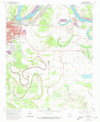
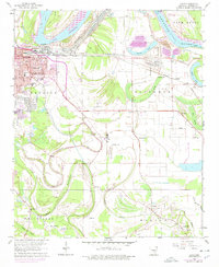
Editions of this 1964 Ladd Map
3 editions found
Other maps of this area
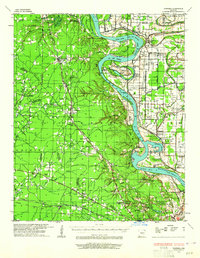
1932 · Pastoria
USGS Topo · 1:62,500
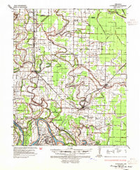
1935 · Altheimer
USGS Topo · 1:62,500
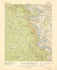
1935 · Pastoria
USGS Topo · 1:62,500
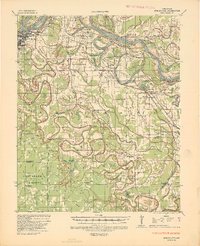
1935 · Noble Lake
USGS Topo · 1:62,500

1948 · Helena
USGS Topo · 1:250,000

1950 · Helena
USGS Topo · 1:250,000

1955 · Helena
USGS Topo · 1:250,000

1955 · Little Rock
USGS Topo · 1:250,000

1956 · Little Rock
USGS Topo · 1:250,000
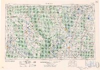
1959 · Helena
USGS Topo · 1:250,000