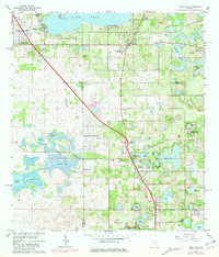
1966 Map of Lady Lake
USGS Topo · Published 1981About this map
Lake Weir dominates the northern landscape, where the lakeside community of Sunset Harbor and the recreational area at Eatons Beach serve as focal points for this Central Florida region. The map captures a moment when the citrus-heavy landscape of Weirsdale and Carlton Village was interlaced with numerous small ponds and lakes, including Lady Lake and Lake Ella. A prominent boundary junction where Marion, Sumter, and Lake counties meet runs through the central portion of the sheet.
Find a feature on this map
51 named features on this map. Tap any name to fly to it.
Don’t see what you’re looking for? This feature index may not catch every label — zoom into the map to look around manually.
Map Details
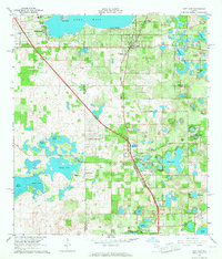
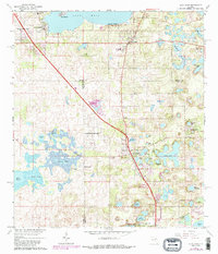
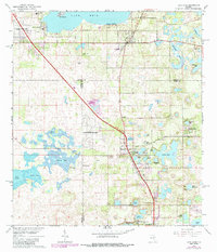
Editions of this 1966 Lady Lake Map
4 editions found
Other maps of this area

1893 · Panasoffkee
USGS Topo · 1:62,500

1895 · Panasoffkee
USGS Topo · 1:62,500

1895 · Ocala
USGS Topo · 1:62,500

1954 · Gainesville
USGS Topo · 1:250,000

1954 · Daytona Beach
USGS Topo · 1:250,000

1955 · Plant City
USGS Topo · 1:250,000

1955 · Orlando
USGS Topo · 1:250,000

1957 · Orlando
USGS Topo · 1:250,000

1958 · Orlando
USGS Topo · 1:250,000

1958 · Daytona Beach
USGS Topo · 1:250,000