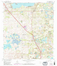
1966 Map of Lady Lake
USGS Topo · Published 1987About this map
Lake Weir and the surrounding citrus and lake country of Central Florida define this landscape, where the borders of Marion, Lake, and Sumter counties converge. The town of Lady Lake serves as a southern anchor, surrounded by a dense network of smaller bodies of water including Lake Geneva, Lake Ella, and Lake Alice. To the north, the settlement of Weirsdale sits near the shores of Lake Weir, connected by a primary north-south corridor that passes through Conant.
Find a feature on this map
52 named features on this map. Tap any name to fly to it.
Don’t see what you’re looking for? This feature index may not catch every label — zoom into the map to look around manually.
Map Details
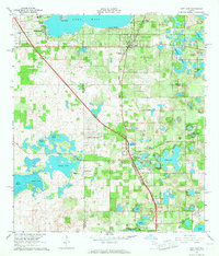
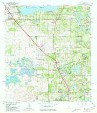
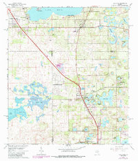
Editions of this 1966 Lady Lake Map
4 editions found
Other maps of this area

1893 · Panasoffkee
USGS Topo · 1:62,500

1895 · Panasoffkee
USGS Topo · 1:62,500

1895 · Ocala
USGS Topo · 1:62,500

1954 · Gainesville
USGS Topo · 1:250,000

1954 · Daytona Beach
USGS Topo · 1:250,000

1955 · Plant City
USGS Topo · 1:250,000

1955 · Orlando
USGS Topo · 1:250,000

1957 · Orlando
USGS Topo · 1:250,000

1958 · Orlando
USGS Topo · 1:250,000

1958 · Daytona Beach
USGS Topo · 1:250,000