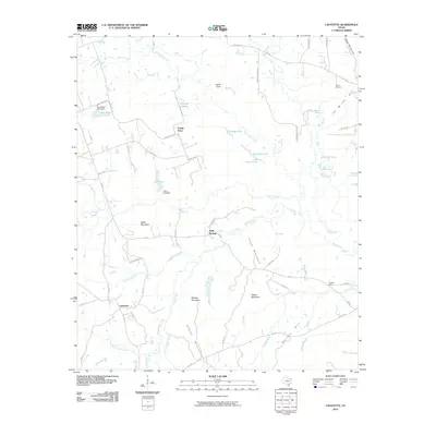
2010 Map of Lafayette
USGS Topo · Published 2010About this map
The community of Lafayette anchors the southwestern portion of this East Texas survey, situated within a landscape defined by several prominent summits including Wilks Mountain, Massey Mountain, and Adams Mountain. This region is characterized by a dense network of water features, where Big Cypress Creek and its many tributaries like Greasy Creek and Ellison Branch carve through the terrain. The presence of smaller settlements such as Center Point and Holly Springs suggests a pattern of rural crossroads and farming communities established along the ridge lines.
Find a feature on this map
67 named features on this map. Tap any name to fly to it.
Don’t see what you’re looking for? This feature index may not catch every label — zoom into the map to look around manually.
Map Details
Editions of this 2010 Lafayette Map
This is the sole edition of this map. No revisions or reprints were ever made.
Other maps of this area

1914 · Daingerfield
USGS Topo · 1:62,500

1953 · Texarkana
USGS Topo · 1:250,000

1956 · Texarkana
USGS Topo · 1:250,000

1956 · Tyler
USGS Topo · 1:250,000

1960 · Bettie
USGS Topo · 1:24,000

1960 · Coffeeville
USGS Topo · 1:24,000

1960 · La Fayette
USGS Topo · 1:24,000

1960 · Pittsburg
USGS Topo · 1:24,000

1962 · Ore City
USGS Topo · 1:24,000

1962 · Lone Star
USGS Topo · 1:24,000