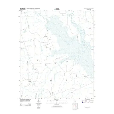
2013 Map of Lafayette
USGS Topo · Published 2013About this map
Big Cypress Cr defines the northern reaches of this East Texas landscape, feeding an intricate system of backwaters including Flanagan Lake, Dundgan Lake, and the Burton Slough. The hydrology of the region is further shaped by Prairie Cr and the Big Slough, creating a complex network of wetlands and small lakes like Lake Sue and Slaton Lake. These water features are interspersed with prominent elevations such as Wilks Mtn, Couch Mtn, and Helms Mtn, which rise above the surrounding creek bottoms.
Find a feature on this map
74 named features on this map. Tap any name to fly to it.
Don’t see what you’re looking for? This feature index may not catch every label — zoom into the map to look around manually.
Map Details
Editions of this 2013 Lafayette Map
This is the sole edition of this map. No revisions or reprints were ever made.
Other maps of this area

1914 · Daingerfield
USGS Topo · 1:62,500

1953 · Texarkana
USGS Topo · 1:250,000

1956 · Texarkana
USGS Topo · 1:250,000

1956 · Tyler
USGS Topo · 1:250,000

1960 · Bettie
USGS Topo · 1:24,000

1960 · Coffeeville
USGS Topo · 1:24,000

1960 · La Fayette
USGS Topo · 1:24,000

1960 · Pittsburg
USGS Topo · 1:24,000

1962 · Ore City
USGS Topo · 1:24,000

1962 · Lone Star
USGS Topo · 1:24,000