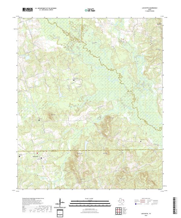
2022 Map of Lafayette
USGS Topo · Published 2022About this map
Big Cypress Cr meanders across the border of Camp and Morris Counties, defining a landscape rich with family-named landmarks and secluded water bodies. Near the settlement of LaFayette, the terrain is marked by significant rises such as Wilks Mtn and Massey Mtn, while the wetlands around Flanagan Lake and Joplin Hole indicate the intricate drainage patterns of the region. Genealogists will find this area particularly informative, as it preserves the locations of several burial grounds, including LaFayette Cem, Riley Cem, and the Center Point Memorial Cem. The map illustrates a rural environment where timber and water are central, with names like Big Brushy Lake and Little Brushy Lake noting the character of the bottoms. Numerous small waterways like Ellison Br and Stoker Br feed into the larger creek system, tracing the historical boundaries of East Texas family landholdings.
Find a feature on this map
86 named features on this map. Tap any name to fly to it.
Don’t see what you’re looking for? This feature index may not catch every label — zoom into the map to look around manually.
Map Details
Editions of this 2022 Lafayette Map
This is the sole edition of this map. No revisions or reprints were ever made.
Other maps of this area

1914 · Daingerfield
USGS Topo · 1:62,500

1953 · Texarkana
USGS Topo · 1:250,000

1956 · Texarkana
USGS Topo · 1:250,000

1956 · Tyler
USGS Topo · 1:250,000

1960 · Bettie
USGS Topo · 1:24,000

1960 · Coffeeville
USGS Topo · 1:24,000

1960 · La Fayette
USGS Topo · 1:24,000

1960 · Pittsburg
USGS Topo · 1:24,000

1962 · Ore City
USGS Topo · 1:24,000

1962 · Lone Star
USGS Topo · 1:24,000