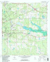
1982 Map of Lafayette
USGS Topo · Published 1983About this map
The eastern edges of Tallahassee meet the sprawling waters of Lake Lafayette in this early 1980s landscape. This transition from urban expansion to rural wetlands is marked by the presence of significant institutional landmarks, including the Federal Correctional Institution and the Prison Farm. The map details the local community through its spiritual and educational hubs, such as Mt Sinai Ch and Lincoln High Sch, alongside recreational spaces like Tom Brown Park. The topography reflects a region shaped by both water and rail, with the Seaboard line cutting through the terrain and the Seminole Fish Hatchery nestled near the Alford Arm. The persistence of early transportation routes is evident in St Augustine Road and the Old Tram Road, providing a clear view of the area's development before more modern infrastructure dominated the Leon County landscape.
Find a feature on this map
44 named features on this map. Tap any name to fly to it.
Don’t see what you’re looking for? This feature index may not catch every label — zoom into the map to look around manually.
Map Details
Editions of this 1982 Lafayette Map
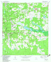
2 editions found
Other maps of this area

1940 · Tallahassee
USGS Topo · 1:62,500

1942 · Tallahassee
USGS Topo · 1:62,500

1943 · Tallahassee
USGS Topo · 1:62,500

1954 · Lloyd
USGS Topo · 1:24,000

1954 · Lafayette
USGS Topo · 1:24,000

1954 · Cody
USGS Topo · 1:24,000

1954 · Woodville
USGS Topo · 1:24,000

1954 · Tallahassee
USGS Topo · 1:250,000

1959 · Tallahassee
USGS Topo · 1:250,000

1960 · Tallahassee
USGS Topo · 1:250,000