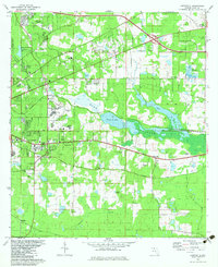
1982 Map of Lafayette
USGS Topo · Published 1983About this map
The eastern edges of Tallahassee meet the sprawling waters of Lake Lafayette and Piney Z Lake in this 1982 map. The landscape is defined by the transition from urban growth to low-lying basin terrain, where the Seaboard Coast Line cuts across the wetlands. Institutional and civic footprints are prominent, including the Federal Correctional Institution and Tom Brown Park, alongside local landmarks like the Seminole Fish Hatchery. Significant genealogical interest is found in the rural outskirts, where numerous small congregations and burial sites like Mt Pisgah Ch, St Peter Cem, and New Zion Ch are preserved. The presence of St Augustine Road and the Old Tram Road reflects deep-rooted transportation corridors that have long connected these communities.
Find a feature on this map
51 named features on this map. Tap any name to fly to it.
Don’t see what you’re looking for? This feature index may not catch every label — zoom into the map to look around manually.
Map Details
Editions of this 1982 Lafayette Map
2 editions found
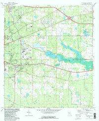
Other maps of this area

1940 · Tallahassee
USGS Topo · 1:62,500

1942 · Tallahassee
USGS Topo · 1:62,500

1943 · Tallahassee
USGS Topo · 1:62,500

1954 · Lloyd
USGS Topo · 1:24,000

1954 · Lafayette
USGS Topo · 1:24,000

1954 · Cody
USGS Topo · 1:24,000

1954 · Woodville
USGS Topo · 1:24,000

1954 · Tallahassee
USGS Topo · 1:250,000

1959 · Tallahassee
USGS Topo · 1:250,000

1960 · Tallahassee
USGS Topo · 1:250,000