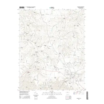
2016 Map of Lafayette
USGS Topo · Published 2016About this map
Lafayette serves as the focal point of this North Central Tennessee landscape, where the town’s grid is anchored by the Lafayette City Cem and surrounded by numerous small rural communities. The map reveals a high concentration of family cemeteries, such as the Jesse West Cem and the Mooningham White Robertson Cem, which provide significant data points for genealogists tracking early settlers in Macon County.
Find a feature on this map
209 named features on this map. Tap any name to fly to it.
Don’t see what you’re looking for? This feature index may not catch every label — zoom into the map to look around manually.
Map Details
Editions of this 2016 Lafayette Map
This is the sole edition of this map. No revisions or reprints were ever made.
Other maps of this area

1931 · Lafayette
USGS Topo · 1:62,500

1931 · Red Boiling Springs
USGS Topo · 1:62,500

1932 · Carthage
USGS Topo · 1:62,500

1954 · Fountain Run
USGS Topo · 1:24,000

1954 · Petroleum
USGS Topo · 1:24,000

1954 · Holland
USGS Topo · 1:24,000

1956 · Corbin
USGS Topo · 1:250,000

1956 · Nashville
USGS Topo · 1:250,000

1958 · Corbin
USGS Topo · 1:250,000

1958 · Westmoreland
USGS Topo · 1:24,000