
1958 Map of Westmoreland
USGS Topo · Published 1959About this map
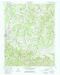
The Louisville and Nashville railroad corridor anchors this mid-century portrait of northern Tennessee, tracing a path through the valley at Westmoreland. The landscape is a complex network of narrow hollows and ridge-top settlements, spanning the boundary between Sumner and Macon counties. Small rural communities like Rocky Mound and Eulia are centered around local institutions such as Union Hill Ch and New Zion Ch, illustrating the tight-knit social geography of the late 1950s.
Find a feature on this map
61 named features on this map. Tap any name to fly to it.
Don’t see what you’re looking for? This feature index may not catch every label — zoom into the map to look around manually.
Map Details
Editions of this 1958 Westmoreland Map
2 editions found
Other maps of this area

1928 · Adolphus
USGS Topo · 1:48,000

1931 · Lafayette
USGS Topo · 1:62,500

1931 · Adolphus
USGS Topo · 1:62,500

1942 · Gallatin
USGS Topo · 1:100,000

1954 · Petroleum
USGS Topo · 1:24,000

1954 · Holland
USGS Topo · 1:24,000

1954 · Adolphus
USGS Topo · 1:24,000

1955 · Bethpage
USGS Topo · 1:24,000

1956 · Nashville
USGS Topo · 1:250,000
1958 · Turners Station
USGS Topo · 1:24,000