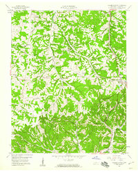
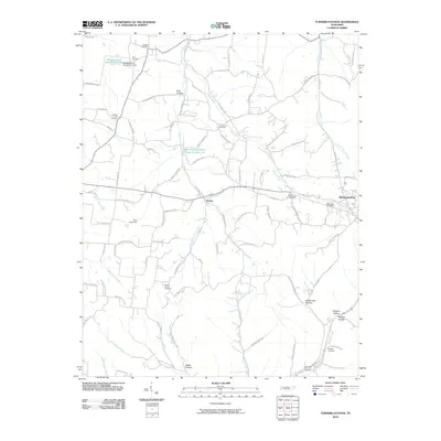
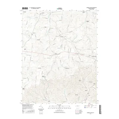
1958 Map of Turners Station
USGS Topo · Published 1959About this map
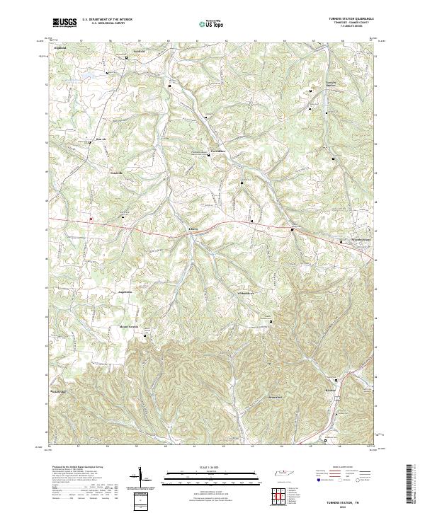
Louisville and Nashville tracks run through the eastern corridor of this Sumner County landscape, linking the community at Westmoreland with the namesake Turners Station. The terrain is defined by the complex drainage systems of Middle Fork Dutch Creek and Sulphur Fork Creek, which have carved deep hollows into the highland. This network of ridges is populated by a high density of rural institutions, particularly country churches like Bostic Chapel, Maple Grove Ch, and New Hope Ch, reflecting a deeply rooted settlement pattern.
Find a feature on this map
34 named features on this map. Tap any name to fly to it.
Don’t see what you’re looking for? This feature index may not catch every label — zoom into the map to look around manually.
Map Details
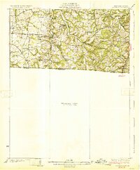
Editions of this 1958 Turners Station Map
This is the sole edition of this map. No revisions or reprints were ever made.
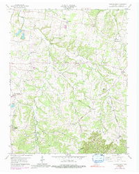
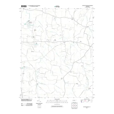
Historical Maps of Westmoreland Through Time
13 maps found
1931 Adolphus
Sumner County, TN
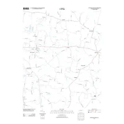
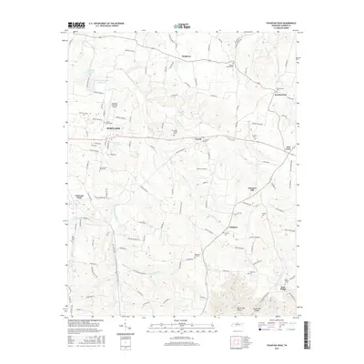
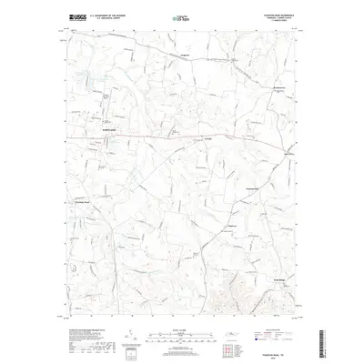
1958 Fountain Head
Sumner County, TN
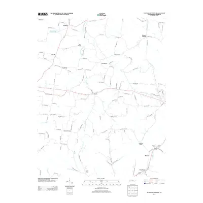
1958 Turners Station
Sumner County, TN
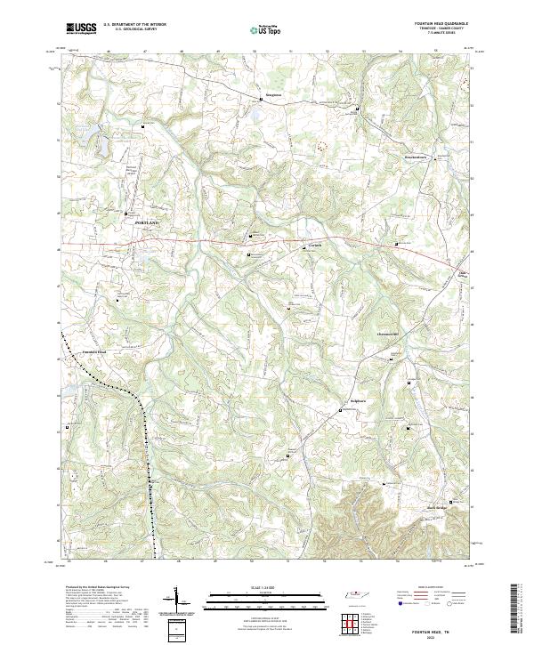
2010 Fountain Head
Sumner County, TN
2010 Turners Station
Sumner County, TN
2013 Fountain Head
Sumner County, TN
2013 Turners Station
Sumner County, TN
2016 Fountain Head
Sumner County, TN
2016 Turners Station
Sumner County, TN
2019 Fountain Head
Sumner County, TN
2019 Turners Station
Sumner County, TN
2022 Fountain Head
Sumner County, TN
2022 Turners Station
Sumner County, TN