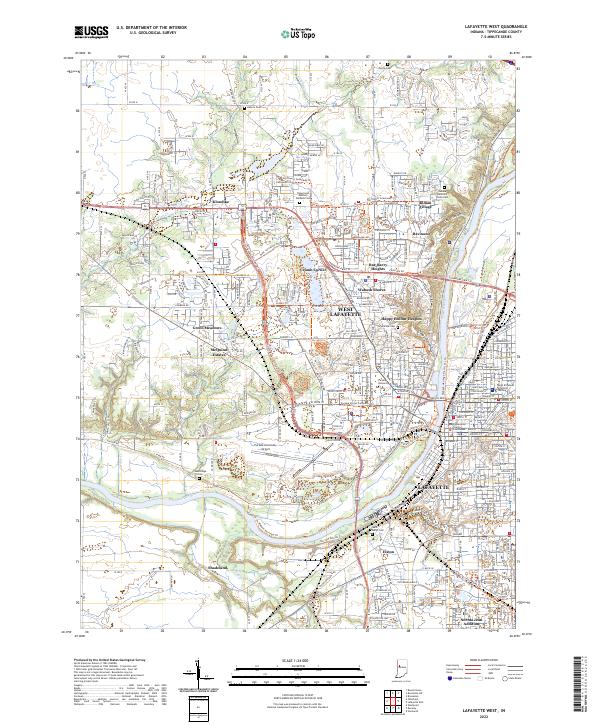
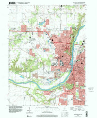
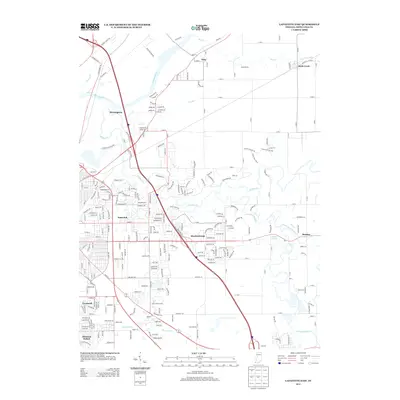
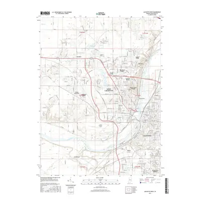
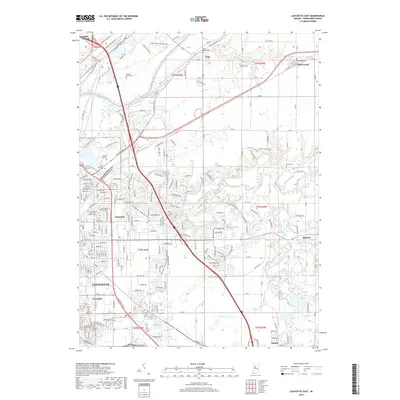
2022 Map of Lafayette West
USGS Topo · Published 2022About this map
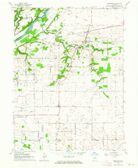
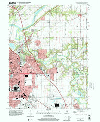
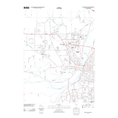
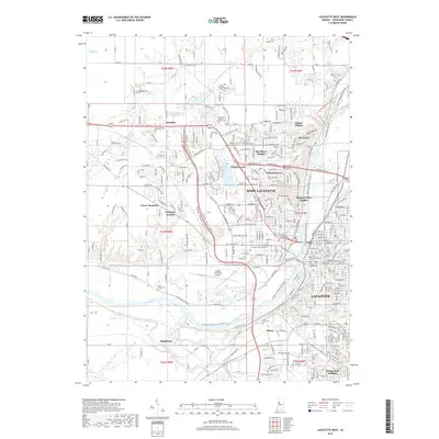
The Wabash River serves as the central artery for this portion of Tippecanoe County, separating the sprawling campuses and residential heights of West Lafayette from the historic core of Lafayette. The eastern bank is dominated by the Tippecanoe County Courthouse, while the western side features the extensive grounds of Purdue University and the Purdue University Airport. This modern survey illustrates the dense suburban expansion into areas like Klondike and Shadeland, alongside established neighborhoods such as Happy Hollow Heights and Bar-Barry Heights. Cultural and institutional history is visible through the numerous memorial grounds, including the Indiana Veterans Home Cem and Tippecanoe Memory Gardens Cem. The landscape transitions from the developed urban university setting to more open terrain near Jordan Cr and Lost Cr, reflecting the region's continued growth outward from the river valley.
Find a feature on this map
120 named features on this map. Tap any name to fly to it.
Don’t see what you’re looking for? This feature index may not catch every label — zoom into the map to look around manually.
Map Details
Editions of this 2022 Lafayette West Map
This is the sole edition of this map. No revisions or reprints were ever made.
Historical Maps of Lafayette Through Time
38 maps found
1961 Lafayette East
Tippecanoe County, IN
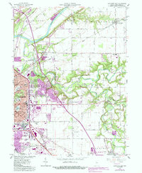
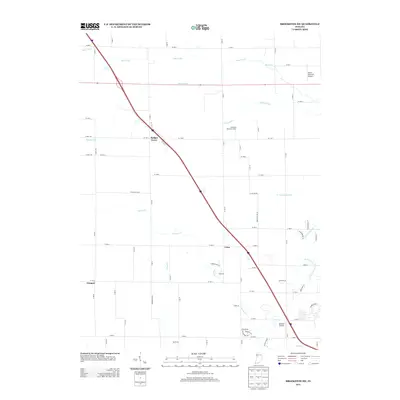
1961 Lafayette West
Tippecanoe County, IN
1961 Pyrmont
Tippecanoe County, IN
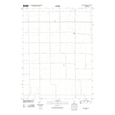
1962 Brookston SW
Tippecanoe County, IN
1962 Round Grove
Tippecanoe County, IN
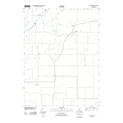
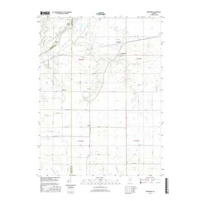
1962 Westpoint
Tippecanoe County, IN
1998 Lafayette East
Tippecanoe County, IN
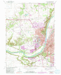
1998 Lafayette West
Tippecanoe County, IN
2010 Brookston SW
Tippecanoe County, IN

2010 Lafayette East
Tippecanoe County, IN
2010 Lafayette West
Tippecanoe County, IN
2010 Pyrmont
Tippecanoe County, IN
2010 Round Grove
Tippecanoe County, IN
2010 Westpoint
Tippecanoe County, IN
2013 Brookston SW
Tippecanoe County, IN
2013 Lafayette East
Tippecanoe County, IN
2013 Lafayette West
Tippecanoe County, IN
2013 Pyrmont
Tippecanoe County, IN
2013 Round Grove
Tippecanoe County, IN
2013 Westpoint
Tippecanoe County, IN
2016 Brookston SW
Tippecanoe County, IN
2016 Lafayette East
Tippecanoe County, IN
2016 Lafayette West
Tippecanoe County, IN
2016 Pyrmont
Tippecanoe County, IN
2016 Round Grove
Tippecanoe County, IN
2016 Westpoint
Tippecanoe County, IN
2019 Brookston SW
Tippecanoe County, IN
2019 Lafayette East
Tippecanoe County, IN
2019 Lafayette West
Tippecanoe County, IN
2019 Pyrmont
Tippecanoe County, IN
2019 Round Grove
Tippecanoe County, IN
2019 Westpoint
Tippecanoe County, IN
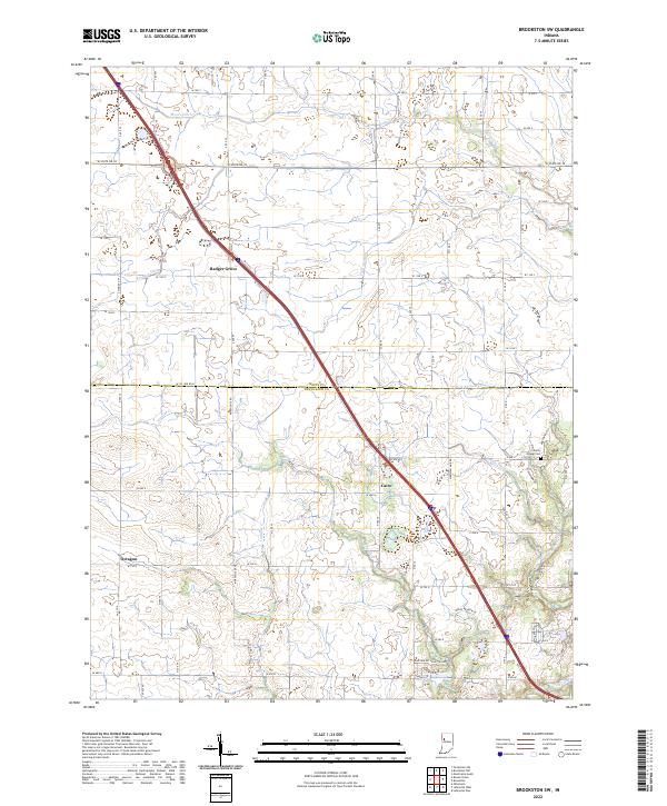
2022 Brookston SW
Tippecanoe County, IN
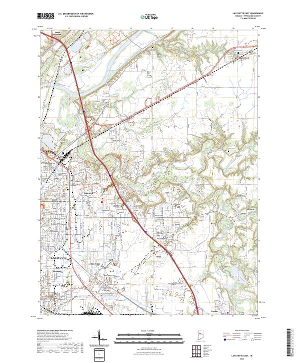
2022 Lafayette East
Tippecanoe County, IN
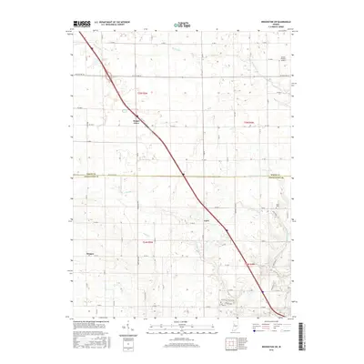
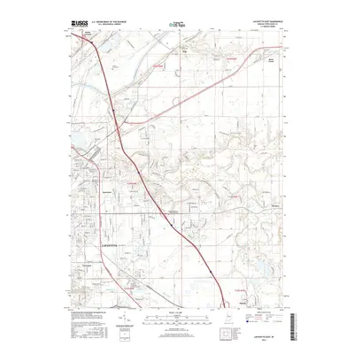
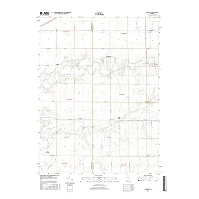
2022 Lafayette West
Tippecanoe County, IN
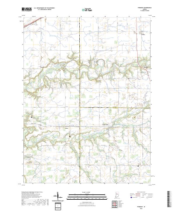
2022 Pyrmont
Tippecanoe County, IN
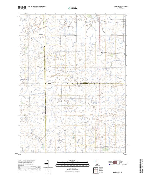
2022 Round Grove
Tippecanoe County, IN
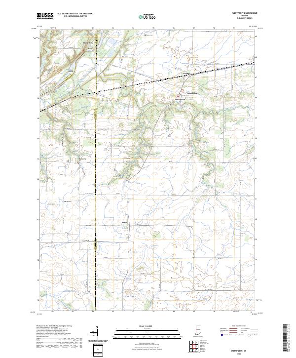
2022 Westpoint
Tippecanoe County, IN