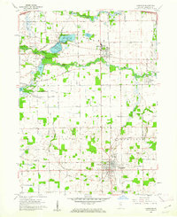
1960 Map of Lagrange
USGS Topo · Published 1976About this map
The county seat of Lagrange anchors this mid-century survey, showing the community just as the Indiana East-West Toll Rd began to reshape regional travel patterns. North of the town center, the Pennsylvania railroad corridor runs through Howe, where the Howe Military Sch occupies a significant portion of the local landscape. The map reveals a transition between the dense residential grid of Lagrange and the agricultural townships of Lima and Bloomfield, characterized by small rural schools like Green Sch and established burial grounds including Hoagland Cem and Greenwood Cem.
Find a feature on this map
37 named features on this map. Tap any name to fly to it.
Don’t see what you’re looking for? This feature index may not catch every label — zoom into the map to look around manually.
Map Details
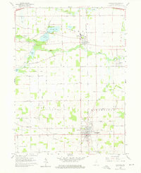
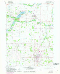
Editions of this 1960 Lagrange Map
Other maps of this area

1914 · Three Rivers
USGS Topo · 1:62,500

1916 · Three Rivers
USGS Topo · 1:62,500

1943 · Three Rivers
USGS Topo · 1:62,500

1947 · Mongo
USGS Topo · 1:24,000

1947 · Lagrange
USGS Topo · 1:24,000

1947 · Wolcottville
USGS Topo · 1:24,000

1947 · Oliver Lake
USGS Topo · 1:24,000

1953 · Fort Wayne
USGS Topo · 1:250,000

1956 · Fort Wayne
USGS Topo · 1:250,000

1959 · Wolcottville
USGS Topo · 1:24,000