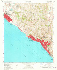
1965 Map of Laguna Beach
USGS Topo · Published 1967About this map
The San Joaquin Hills meet the Pacific Ocean along this mid-century stretch of the Orange County coast, where emerging residential developments are visible alongside significant local infrastructure. Residential growth is particularly concentrated around Laguna Beach and Corona del Mar, while the interior remains defined by deep canyons and prominent ridges. Notable landmarks such as the Pacific View Memorial Park (Cem) and the Signal Peak Radio Tower stand out against the undeveloped slopes of Buck Gully and Mora Canyon.
Find a feature on this map
51 named features on this map. Tap any name to fly to it.
Don’t see what you’re looking for? This feature index may not catch every label — zoom into the map to look around manually.
Map Details
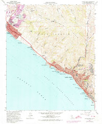
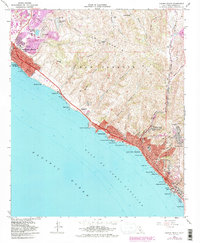
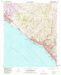
Editions of this 1965 Laguna Beach Map
4 editions found
Other maps of this area

1896 · Santa Ana
USGS Topo · 1:62,500

1901 · Southern California Sheet No. 1
USGS Topo · 1:250,000

1901 · Santa Ana
USGS Topo · 1:62,500

1902 · Capistrano
USGS Topo · 1:125,000

1902 · Corona
USGS Topo · 1:125,000

1904 · Southern California Sheet No. 2
USGS Topo · 1:250,000

1904 · Southern California Sheet No. 1
USGS Topo · 1:250,000

1906 · Capistrano
USGS Topo · 1:125,000

1932 · Newport Beach
USGS Topo · 1:31,680

1932 · Tustin
USGS Topo · 1:31,680