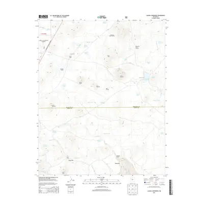
2013 Map of Laguna Canoneros
USGS Topo · Published 2013About this map
Seboyeta sits at the southern edge of this high-desert landscape, where the drainage of Seboyeta Cr and Seboyetita Cr carves through the foothills below Mesa Chivato. This 2013 survey of the boundary between McKinley and Cibola counties reveals a terrain defined by isolated livestock camps and seasonal water sources. The map records several specific ranching or hunting outposts, including Cuates Camp and Cañoneros Camp, which are scattered among numerous volcanic peaks like Cerro Aguila and Cerro Redondo.
Find a feature on this map
50 named features on this map. Tap any name to fly to it.
Don’t see what you’re looking for? This feature index may not catch every label — zoom into the map to look around manually.
Map Details
Editions of this 2013 Laguna Canoneros Map
This is the sole edition of this map. No revisions or reprints were ever made.
Other maps of this area

1883 · Mt. Taylor
USGS Topo · 1:250,000

1886 · Mt. Taylor
USGS Topo · 1:250,000

1892 · Mt. Taylor
USGS Topo · 1:250,000

1899 · Mt. Taylor
USGS Topo · 1:250,000

1957 · Mount Taylor
USGS Topo · 1:24,000

1957 · Moquino
USGS Topo · 1:24,000

1957 · Seboyeta
USGS Topo · 1:24,000

1958 · Albuquerque
USGS Topo · 1:250,000

1961 · Marquez
USGS Topo · 1:24,000

1961 · El Dado Mesa
USGS Topo · 1:24,000