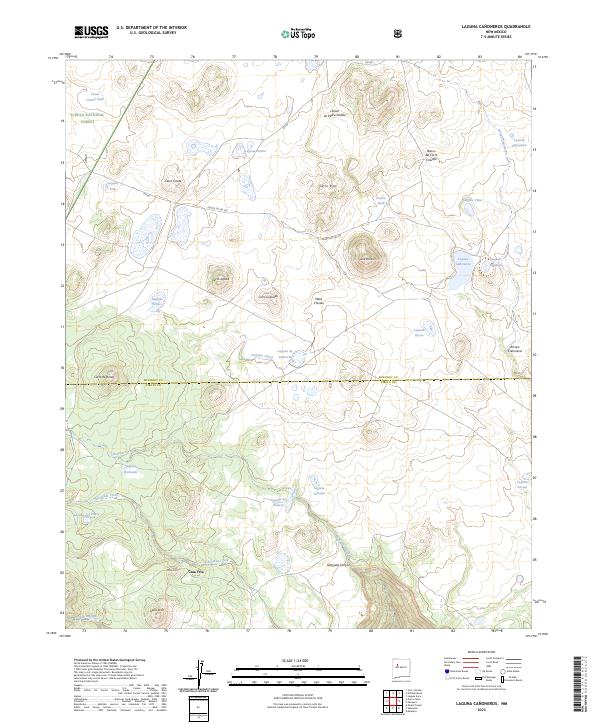
2023 Map of Laguna Canoneros
USGS Topo · Published 2023About this map
Casa Fria sits at the base of rising terrain within the Cibola National Forest, marking a pocket of settlement in this high-desert landscape. The area is defined by a complex hydrographic system of lagoons and seasonal drainages, including the eponymous Laguna Cañoneros and the curious Panama Canal water feature near Cerro Redondo. The southern portion of the map is dominated by the deeply incised Seboyeta Canyon and the headwaters of the Rio Paguate, where the terrain drops sharply from high mesas. Notable landforms like Cerro Chivato and Mesa Chivato rise above the surrounding flats, while the northern section features a series of distinct basins such as Laguna Vieja and Laguna Blanquita. The McKinley and Cibola county line bisects the territory, highlighting the administrative boundaries that overlay this network of volcanic cerros and desert lagunas.
Find a feature on this map
39 named features on this map. Tap any name to fly to it.
Don’t see what you’re looking for? This feature index may not catch every label — zoom into the map to look around manually.
Map Details
Editions of this 2023 Laguna Canoneros Map
This is the sole edition of this map. No revisions or reprints were ever made.
Other maps of this area

1883 · Mt. Taylor
USGS Topo · 1:250,000

1886 · Mt. Taylor
USGS Topo · 1:250,000

1892 · Mt. Taylor
USGS Topo · 1:250,000

1899 · Mt. Taylor
USGS Topo · 1:250,000

1957 · Mount Taylor
USGS Topo · 1:24,000

1957 · Moquino
USGS Topo · 1:24,000

1957 · Seboyeta
USGS Topo · 1:24,000

1958 · Albuquerque
USGS Topo · 1:250,000

1961 · Marquez
USGS Topo · 1:24,000

1961 · El Dado Mesa
USGS Topo · 1:24,000