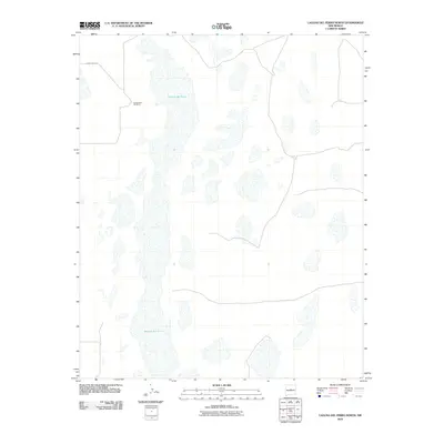
2010 Map of Laguna Del Perro North
USGS Topo · Published 2010About this map
Laguna del Perro dominates this arid landscape in central New Mexico, appearing as a complex of ephemeral alkali lakes and salt basins. The terrain is characterized by these distinct white playa formations, which suggest a geologically active past where shifting water levels shaped the Estancia Basin floor. Human presence is sparse, marked primarily by the location of El Ranchero Berkshire and a few rural thoroughfares such as County Rd A047. This 2010 survey reflects a region defined more by its natural hydrography and desert geology than by industrial or urban development, offering a clear record of the salt lakes' extent at the start of the decade.
Find a feature on this map
3 named features on this map. Tap any name to fly to it.
Don’t see what you’re looking for? This feature index may not catch every label — zoom into the map to look around manually.
Map Details
Editions of this 2010 Laguna Del Perro North Map
This is the sole edition of this map. No revisions or reprints were ever made.
Other maps of this area

1917 · Estancia
USGS Topo · 1:125,000

1954 · Fort Sumner
USGS Topo · 1:250,000

1954 · Socorro
USGS Topo · 1:250,000

1956 · Estancia
USGS Topo · 1:62,500

1956 · Mountainair
USGS Topo · 1:62,500

1958 · Socorro
USGS Topo · 1:250,000

1958 · Fort Sumner
USGS Topo · 1:250,000

1960 · Lobo Hill
USGS Topo · 1:62,500

1962 · Socorro
USGS Topo · 1:250,000

1978 · Laguna Del Perro North
USGS Topo · 1:24,000