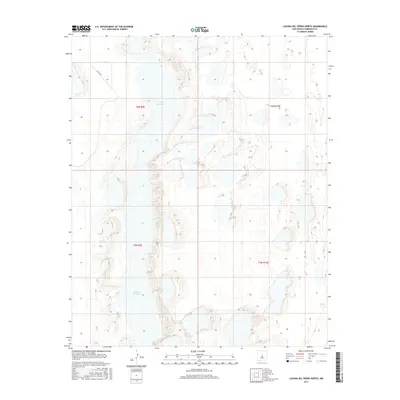
2017 Map of Laguna Del Perro North
USGS Topo · Published 2017About this map
Laguna del Perro dominates the landscape of this Torrance County quadrangle, where high desert elevations meet a complex of ephemeral alkali lakes. The terrain is defined by the stark white basins of these playas and the surrounding topographic contours that rise above the basin floor. Transportation across this arid interior is limited, with Co Rd A047 providing one of the few named corridors through the northern reaches of the valley. The map details the Public Land Survey System grid with townships t6n r9e, t6n r10e, t5n r9e, and t5n r10e meeting here. This specific survey serves as a modern record of the shoreline and elevation changes in this unique salt lake environment, which has long been a significant landmark for travelers and researchers in central New Mexico.
Find a feature on this map
6 named features on this map. Tap any name to fly to it.
Don’t see what you’re looking for? This feature index may not catch every label — zoom into the map to look around manually.
Map Details
Editions of this 2017 Laguna Del Perro North Map
This is the sole edition of this map. No revisions or reprints were ever made.
Other maps of this area

1917 · Estancia
USGS Topo · 1:125,000

1954 · Fort Sumner
USGS Topo · 1:250,000

1954 · Socorro
USGS Topo · 1:250,000

1956 · Estancia
USGS Topo · 1:62,500

1956 · Mountainair
USGS Topo · 1:62,500

1958 · Socorro
USGS Topo · 1:250,000

1958 · Fort Sumner
USGS Topo · 1:250,000

1960 · Lobo Hill
USGS Topo · 1:62,500

1962 · Socorro
USGS Topo · 1:250,000

1978 · Laguna Del Perro North
USGS Topo · 1:24,000