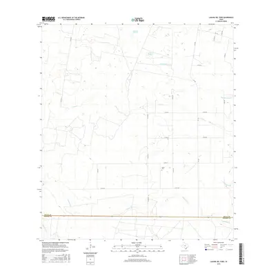
2016 Map of Laguna Del Toro
USGS Topo · Published 2016About this map
Copita Cem sits within the brushy lowlands of South Texas, serving as a lone landmark in a landscape defined by seasonal watercourses and drainage basins. This area, spanning the boundary between Duval and Brooks counties, is characterized by a network of intermittent creeks and lagoons that dictate the rural road layout. Several significant water bodies, including Laguna Del Toro and Laguna Grande, dot the terrain north of where Cibolo Cr meanders across the center of the sheet. The southern portion of the quadrangle is marked by the course of Laborcitas Cr and Palo Blanco Cr, while a grid of local county roads like Co RD 238 and Co RD 240 connects the scattered ranchlands. The presence of Ramada del Toro Cr and Lagunas Negras further illustrates the hydrological complexity of this cattle-country environment in the modern era.
Find a feature on this map
22 named features on this map. Tap any name to fly to it.
Don’t see what you’re looking for? This feature index may not catch every label — zoom into the map to look around manually.
Map Details
Editions of this 2016 Laguna Del Toro Map
This is the sole edition of this map. No revisions or reprints were ever made.
Other maps of this area

1921 · Falfurrias
USGS Topo · 1:125,000

1956 · Laredo
USGS Topo · 1:250,000

1963 · Premont West
USGS Topo · 1:24,000

1963 · Falfurrias
USGS Topo · 1:24,000
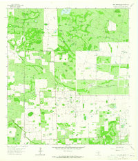
1963 · Seeligson Ranch
USGS Topo · 1:24,000

1968 · Palomas Ranch NW
USGS Topo · 1:24,000

1968 · Concepcion
USGS Topo · 1:24,000

1968 · Concepcion NW
USGS Topo · 1:24,000

1968 · Palomas Ranch
USGS Topo · 1:24,000
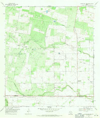
1969 · Laguna Del Toro
USGS Topo · 1:24,000