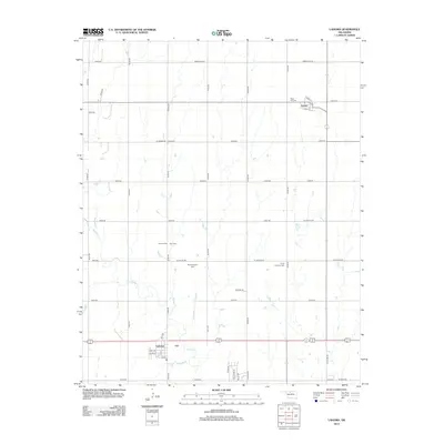
2012 Map of Lahoma
USGS Topo · Published 2012About this map
The town of Lahoma anchors the southern portion of this 2012 survey, situated along the east-west corridor where Turkey Cr winds through the prairie. The map reveals a deeply rooted rural community in Garfield County, defined by its traditional grid of section-line roads such as W Willow Rd and N2760 Rd. North of the main settlement lies the community of Carrier, positioned near Rose Hill Cem. This landscape is particularly notable for its high concentration of family and community burial grounds, including the Baumagartner Cem, Zion Cem, and Trinity Lutheran Cem, each serving as a vital landmark for local genealogists and historians tracing the settlement patterns of central Oklahoma. The drainage of Turkey Cr provides the primary natural relief against the agricultural regularity of the plains.
Find a feature on this map
43 named features on this map. Tap any name to fly to it.
Don’t see what you’re looking for? This feature index may not catch every label — zoom into the map to look around manually.
Map Details
Editions of this 2012 Lahoma Map
This is the sole edition of this map. No revisions or reprints were ever made.
Other maps of this area

1955 · Enid West
USGS Topo · 1:24,000

1955 · Enid
USGS Topo · 1:250,000

1955 · Woodward
USGS Topo · 1:250,000

1956 · Enid
USGS Topo · 1:62,500

1956 · Ringwood
USGS Topo · 1:62,500

1958 · Enid
USGS Topo · 1:250,000

1958 · Woodward
USGS Topo · 1:250,000

1968 · Hillsdale
USGS Topo · 1:24,000

1969 · Goltry
USGS Topo · 1:24,000

1969 · Jet SE
USGS Topo · 1:24,000