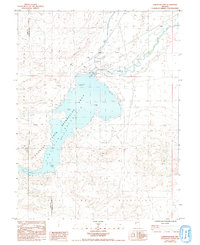
1985 Map of Lahontan Dam
USGS Topo · Published 1993About this map
The Lahontan State Recreation Area dominates this landscape, where the convergence of the Truckee Canal and the Carson River creates a vital water source in the high desert. Held by the massive Lahontan Dam, the reservoir serves as a focal point for recreation and irrigation, featuring named shorelines such as Sixmile Beach and Churchill Beach. The complex geography is defined by the The Narrows and several prominent landforms including Blackbird Point and Evans Island.
Find a feature on this map
29 named features on this map. Tap any name to fly to it.
Don’t see what you’re looking for? This feature index may not catch every label — zoom into the map to look around manually.
Map Details
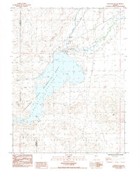
Editions of this 1985 Lahontan Dam Map
2 editions found
Other maps of this area

1890 · Wadsworth
USGS Topo · 1:125,000

1891 · Wabuska
USGS Topo · 1:125,000

1892 · Wadsworth
USGS Topo · 1:125,000

1894 · Wadsworth
USGS Topo · 1:125,000

1894 · Wabuska
USGS Topo · 1:125,000

1908 · Carson Sink
USGS Topo · 1:250,000

1910 · Carson Sink
USGS Topo · 1:250,000

1951 · Soda Lake
USGS Topo · 1:62,500

1951 · Fallon
USGS Topo · 1:62,500

1957 · Two Tips
USGS Topo · 1:62,500