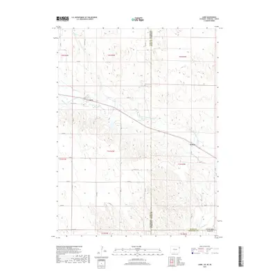
2019 Map of Laird
USGS Topo · Published 2019About this map
The North Fork Republican River cuts through this tri-state borderland, where the high plains of eastern Colorado meet the southwestern corners of Nebraska and Kansas. The small settlement of Laird serves as a central point along the river valley, flanked by the Laird Canal and Haigler Canal, which reflect the region's historical reliance on managed water for prairie agriculture. Further east along the riverbank, the locale of Sanborn marks a transition toward the open rangeland.
Find a feature on this map
34 named features on this map. Tap any name to fly to it.
Don’t see what you’re looking for? This feature index may not catch every label — zoom into the map to look around manually.
Map Details
Editions of this 2019 Laird Map
This is the sole edition of this map. No revisions or reprints were ever made.
Other maps of this area

1942 · St. Francis
USGS Topo · 1:62,500

1943 · St. Francis
USGS Topo · 1:62,500

1951 · St Francis
USGS Topo · 1:62,500

1954 · Limon
USGS Topo · 1:250,000

1954 · Sterling
USGS Topo · 1:250,000

1954 · McCook
USGS Topo · 1:250,000

1954 · Goodland
USGS Topo · 1:250,000

1956 · Goodland
USGS Topo · 1:250,000

1957 · McCook
USGS Topo · 1:250,000

1957 · Limon
USGS Topo · 1:250,000