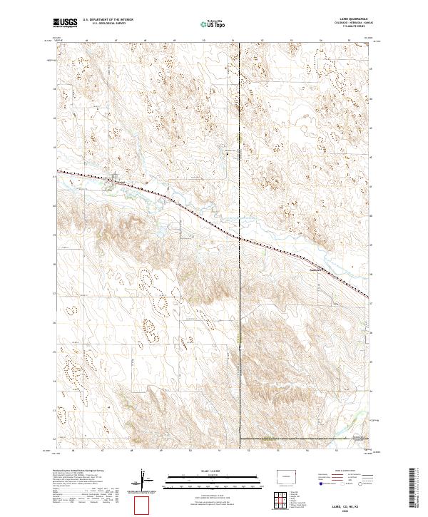
2022 Map of Laird
USGS Topo · Published 2022About this map
The North Fork Republican River valley defines the central landscape of this tri-state border region, where Colorado, Nebraska, and Kansas meet. This survey captures the rural character of Yuma County and Dundy County, centered on the settlement of Laird. Irrigation infrastructure, critical to High Plains agriculture, is clearly marked by the Laird Canal and Haigler Canal tracing the river’s path. The map provides essential detail for family historians, including the Hanshaw Cem located near the state line and the smaller community of Sanborn to the east. Further south, the channel of the Arikaree River cuts across the corner of the sheet, illustrating the drainage patterns that shaped the early cattle and farming industry in this remote section of the Great Plains.
Find a feature on this map
34 named features on this map. Tap any name to fly to it.
Don’t see what you’re looking for? This feature index may not catch every label — zoom into the map to look around manually.
Map Details
Editions of this 2022 Laird Map
This is the sole edition of this map. No revisions or reprints were ever made.
Other maps of this area

1942 · St. Francis
USGS Topo · 1:62,500

1943 · St. Francis
USGS Topo · 1:62,500

1951 · St Francis
USGS Topo · 1:62,500

1954 · Limon
USGS Topo · 1:250,000

1954 · Sterling
USGS Topo · 1:250,000

1954 · McCook
USGS Topo · 1:250,000

1954 · Goodland
USGS Topo · 1:250,000

1956 · Goodland
USGS Topo · 1:250,000

1957 · McCook
USGS Topo · 1:250,000

1957 · Limon
USGS Topo · 1:250,000