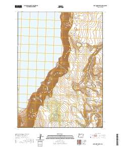
2020 Map of Lake Abert South
USGS Topo · Published 2020About this map
Lake Abert and the towering Abert Rim dominate this high-desert landscape of Lake County, Oregon. The area is defined by a sparse but essential network of water sources, from ephemeral playas like Priday Lake and Paddys Lake to named springs and waterholes critical for livestock and wildlife. U.S. Route 395 skirts the eastern shore of the lake, providing the primary access through this dramatic basin-and-range topography. To the east of the rim, the drainage patterns of Rabbit Cr and Snyder Cr reveal a system of seasonal flows and reservoirs, including Lower Basin Draw Reservoir and Spawn Reservoir. Localized features such as Fish Cr Waterhole Number Forty and Webb Springs provide a detailed look at how this arid environment was managed for resource use in the early 21st century.
Find a feature on this map
22 named features on this map. Tap any name to fly to it.
Don’t see what you’re looking for? This feature index may not catch every label — zoom into the map to look around manually.
Map Details
Editions of this 2020 Lake Abert South Map
This is the sole edition of this map. No revisions or reprints were ever made.
Other maps of this area

1955 · Klamath Falls
USGS Topo · 1:250,000

1958 · Klamath Falls
USGS Topo · 1:250,000

1964 · Valley Falls
USGS Topo · 1:24,000

1966 · Coglan Buttes NE
USGS Topo · 1:24,000

1966 · Coglan Buttes SE
USGS Topo · 1:24,000
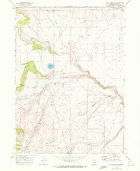
1968 · Drake Peak NE
USGS Topo · 1:24,000

1968 · Lake Abert North
USGS Topo · 1:24,000

1968 · Lake Abert South
USGS Topo · 1:24,000
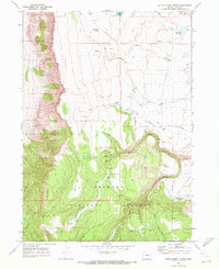
1968 · Little Honey Creek
USGS Topo · 1:24,000
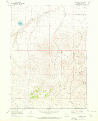
1968 · Cooper Draw
USGS Topo · 1:24,000