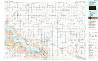
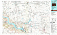
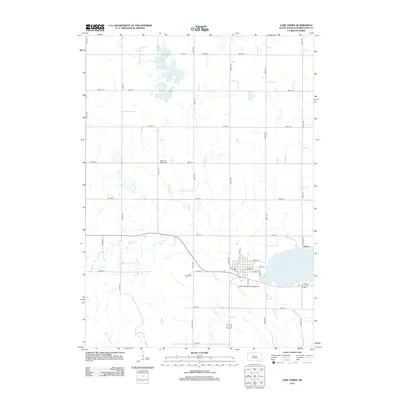
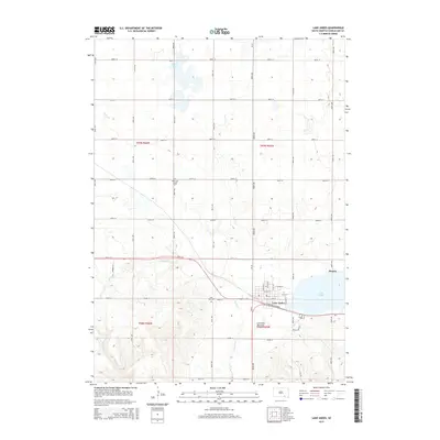
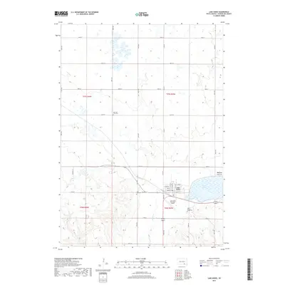
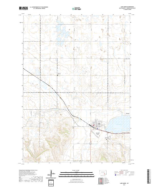
1986 Map of Lake Andes
USGS Topo · Published 1988About this map
The Yankton Indian Reservation and the sprawling waters of Lake Francis Case dominate this mid-1980s landscape in southern South Dakota. The Missouri River corridor, dramatically altered by the construction of the dam at Pickstown, supports a chain of recreation areas including Whetstone Bay Recreation Area and Spring Creek Recreation Area. On the uplands, the Chicago Milwaukee St Paul and Pacific railroad line connects rural farming hubs like Platte, Geddes, and Lake Andes. This survey documents a complex intersection of tribal lands, federal conservation efforts at the Andes National Wildlife Refuge, and early frontier history preserved at Fort Randall and its associated Military Reservation. The township grids of Charles Mix and Douglas counties are punctuated by small communal settlements such as New Holland and Greenwood Colony.
Find a feature on this map
129 named features on this map. Tap any name to fly to it.
Don’t see what you’re looking for? This feature index may not catch every label — zoom into the map to look around manually.
Map Details
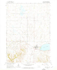
Editions of this 1986 Lake Andes Map
3 editions found

Historical Maps of Wagner Through Time
7 maps found
Featured Locations
- Armour, SD
- Wagner, SD
- Platte, Platte Township
- Corsica, Grandview Township
- Lake Andes, White Swan Township