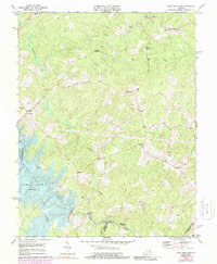
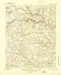
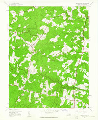
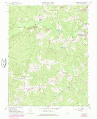
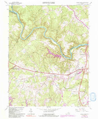
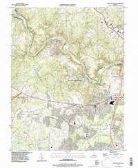
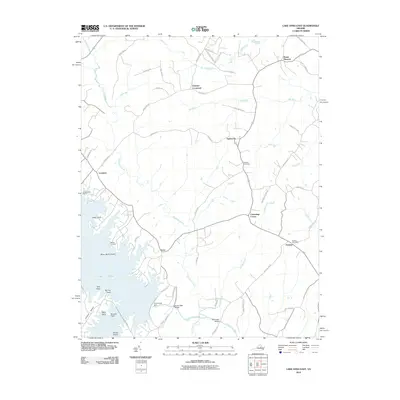
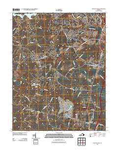
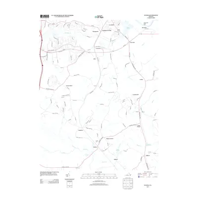
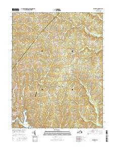
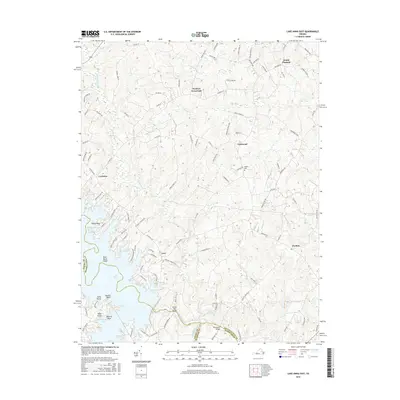
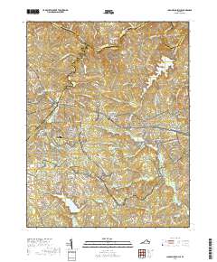
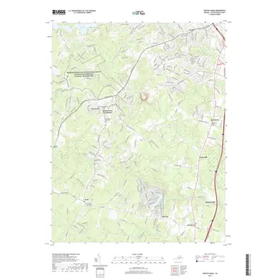
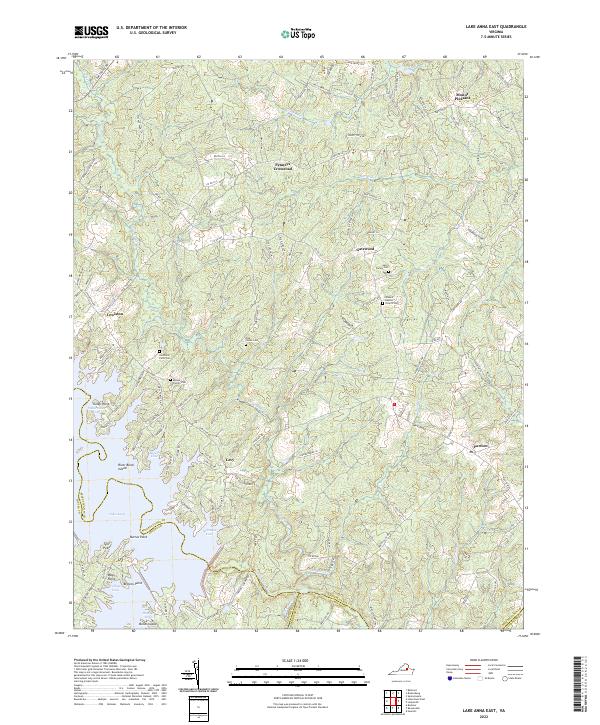
1973 Map of Lake Anna East
USGS Topo · Published 1988About this map
Lake Anna and its newly formed western shoreline dominate the landscape of this 1970s survey, following the reservoir's creation on the North Anna River. The map reveals a rural Virginia transition, where established rural communities like Partlow and Lewiston meet the rising waters. Old transportation routes are marked by the Smiths Mill Bridge and Davenport Bridge, crossing the river and its tributaries. Significant local history and genealogy interest is concentrated in the many rural religious and educational centers, including New Hope Ch, Wallers Ch, and Livingston Sch. The terrain is defined by a series of waterways such as Northeast Creek and Arnolds Creek that carve through the landscape, feeding the reservoir. Distinctive crossroads and community hubs like Penneys Crossroad, Duerson Store, and Chewnings Corner provide a look at the settlement patterns of central Virginia in this era.
Find a feature on this map
32 named features on this map. Tap any name to fly to it.
Don’t see what you’re looking for? This feature index may not catch every label — zoom into the map to look around manually.
Map Details
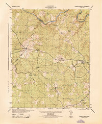
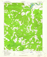
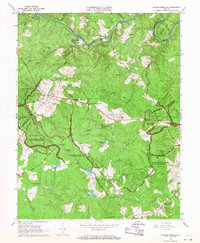
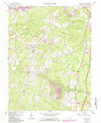
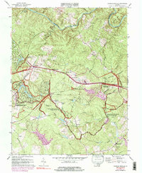
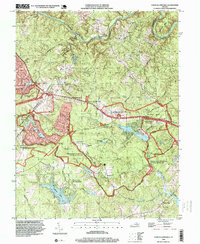
Editions of this 1973 Lake Anna East Map
4 editions found
Historical Maps of Mount Pleasant Through Time
60 maps found

1887 Spottsylvania
Spotsylvania County, VA
1892 Spotsylvania
Spotsylvania County, VA
1942 Belmont
Spotsylvania County, VA
1942 Brokenburg
Spotsylvania County, VA

1942 Guinea
Spotsylvania County, VA
1942 Partlow
Spotsylvania County, VA
1942 Spotsylvania
Spotsylvania County, VA

1943 Chancellorsville
Spotsylvania County, VA

1943 Salem Church
Spotsylvania County, VA
1944 Chancellorsville
Spotsylvania County, VA

1944 Salem Church
Spotsylvania County, VA
1949 Guinea
Spotsylvania County, VA
1966 Belmont
Spotsylvania County, VA
1966 Brokenburg
Spotsylvania County, VA
1966 Chancellorsville
Spotsylvania County, VA
1966 Guinea
Spotsylvania County, VA
1966 Partlow
Spotsylvania County, VA
1966 Salem Church
Spotsylvania County, VA
1966 Spotsylvania
Spotsylvania County, VA
1973 Chancellorsville
Spotsylvania County, VA
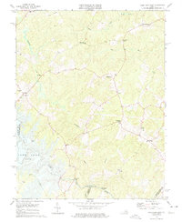
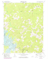
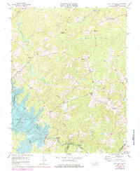
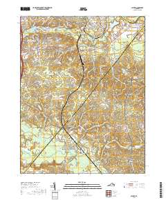
1973 Lake Anna East
Spotsylvania County, VA

1983 Fredericksburg
Spotsylvania County, VA
1994 Chancellorsville
Spotsylvania County, VA
1994 Salem Church
Spotsylvania County, VA
1994 Spotsylvania
Spotsylvania County, VA
2010 Belmont
Spotsylvania County, VA
2010 Brokenburg
Spotsylvania County, VA
2010 Guinea
Spotsylvania County, VA
2010 Lake Anna East
Spotsylvania County, VA
2011 Chancellorsville
Spotsylvania County, VA
2011 Salem Church
Spotsylvania County, VA
2011 Spotsylvania
Spotsylvania County, VA
2013 Belmont
Spotsylvania County, VA
2013 Brokenburg
Spotsylvania County, VA
2013 Chancellorsville
Spotsylvania County, VA
2013 Guinea
Spotsylvania County, VA
2013 Lake Anna East
Spotsylvania County, VA
2013 Salem Church
Spotsylvania County, VA
2013 Spotsylvania
Spotsylvania County, VA
2016 Belmont
Spotsylvania County, VA
2016 Brokenburg
Spotsylvania County, VA
2016 Chancellorsville
Spotsylvania County, VA
2016 Guinea
Spotsylvania County, VA
2016 Lake Anna East
Spotsylvania County, VA

2016 Salem Church
Spotsylvania County, VA
2016 Spotsylvania
Spotsylvania County, VA
2019 Belmont
Spotsylvania County, VA
2019 Brokenburg
Spotsylvania County, VA
2019 Chancellorsville
Spotsylvania County, VA
2019 Guinea
Spotsylvania County, VA
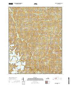
2019 Lake Anna East
Spotsylvania County, VA
2019 Salem Church
Spotsylvania County, VA
2019 Spotsylvania
Spotsylvania County, VA
2022 Belmont
Spotsylvania County, VA
2022 Brokenburg
Spotsylvania County, VA
2022 Chancellorsville
Spotsylvania County, VA
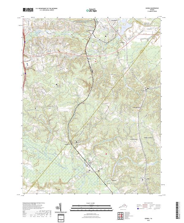
2022 Guinea
Spotsylvania County, VA
2022 Lake Anna East
Spotsylvania County, VA
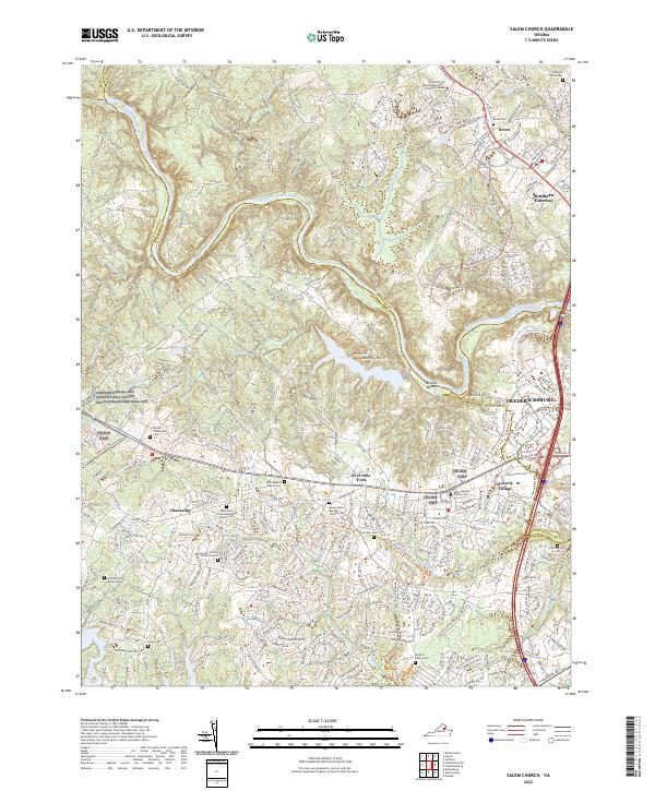
2022 Salem Church
Spotsylvania County, VA
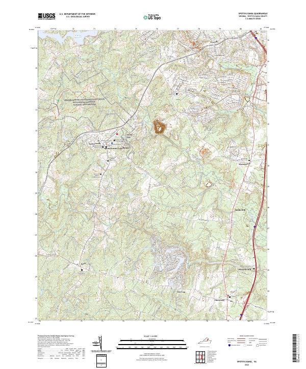
2022 Spotsylvania
Spotsylvania County, VA