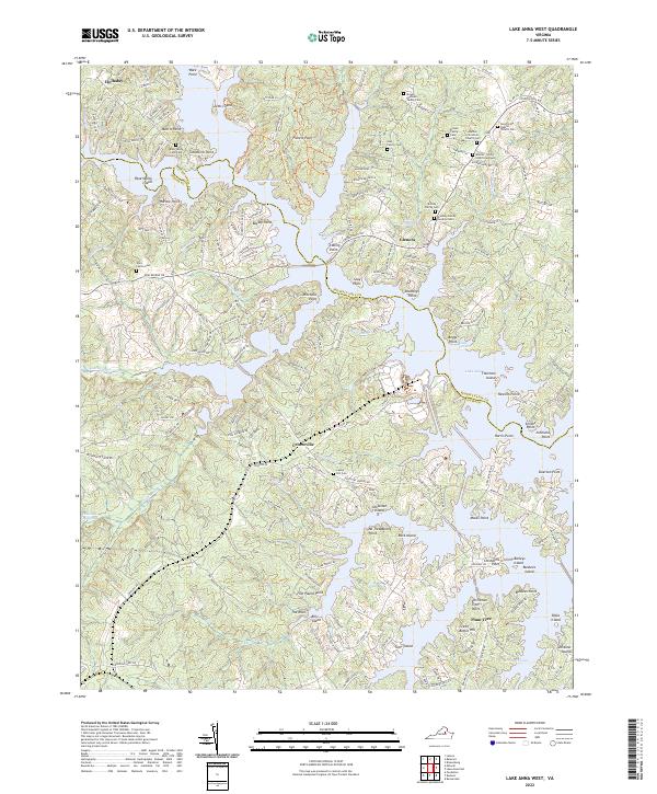
2022 Map of Lake Anna West
USGS Topo · Published 2022About this map
Lake Anna dominates this landscape, its intricate shoreline creating numerous points and coves across the border of Spotsylvania and Louisa counties. The map details a transition from traditional rural land use to modern residential development, visible in the contrast between the sprawling water-access subdivisions like those along Windwood Coves Blvd and the older, family-centered geography of the interior. Genealogists will find a dense concentration of family burial sites, including the Brooks - Atchison Family Cem, the Brumley Family Burial Ground, and the Rose Valley Farm Cem. Evidence of earlier agricultural industry remains in the presence of Whitlock Millpond and Lacy Millpond, while small settlements like Centreville, Glenora, and Holladay serve as local anchors. The terrain is marked by numerous named points such as Boxley Point and Duerson Point, reflecting the complex topography created by the flooding of Contrary Cr and its tributaries.
Find a feature on this map
197 named features on this map. Tap any name to fly to it.
Don’t see what you’re looking for? This feature index may not catch every label — zoom into the map to look around manually.
Map Details
Editions of this 2022 Lake Anna West Map
This is the sole edition of this map. No revisions or reprints were ever made.
Other maps of this area

1887 · Spottsylvania
USGS Topo · 1:125,000

1890 · Goochland
USGS Topo · 1:125,000

1892 · Spottsylvania
USGS Topo · 1:125,000

1892 · Goochland
USGS Topo · 1:125,000

1942 · Mineral
USGS Topo · 1:31,680

1942 · Lahore
USGS Topo · 1:31,680

1942 · Partlow
USGS Topo · 1:31,680

1942 · Belmont
USGS Topo · 1:31,680

1942 · Contrary Creek
USGS Topo · 1:31,680

1942 · Brokenburg
USGS Topo · 1:31,680