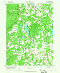
1966 Map of Lake Ariel
USGS Topo · Published 1967About this map
The Erie-Lackawanna railroad bisects this region of the Pocono plateau, connecting a network of villages and water bodies that defined mid-century life in Wayne and Lackawanna Counties. Centered on the resort community of Lake Ariel, the map documents a landscape transitioning from agricultural roots to recreational prominence. Local hubs like Hollisterville, Hamlin, and Maplewood are clearly defined, surrounded by family-named landmarks and essential community institutions.
Find a feature on this map
44 named features on this map. Tap any name to fly to it.
Don’t see what you’re looking for? This feature index may not catch every label — zoom into the map to look around manually.
Map Details
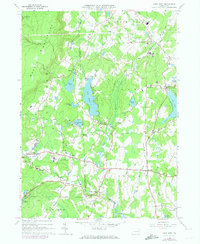
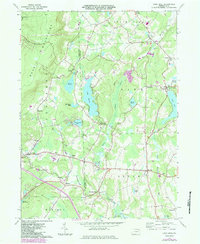
Editions of this 1966 Lake Ariel Map
3 editions found
Other maps of this area

1889 · Scranton
USGS Topo · 1:62,500

1891 · Scranton
USGS Topo · 1:62,500

1892 · Honesdale
USGS Topo · 1:62,500

1892 · Dundaff
USGS Topo · 1:62,500

1893 · Scranton
USGS Topo · 1:62,500

1928 · Ariel
USGS Topo · 1:62,500

1932 · Ariel
USGS Topo · 1:62,500

1943 · Scranton
USGS Topo · 1:125,000

1943 · Honesdale
USGS Topo · 1:125,000

1946 · Olyphant
USGS Topo · 1:24,000
Featured Places
- South Canaan Township, PA
- Sterling Township, PA
- Lake Township, PA
- Red Oak, Jefferson Township
- Saco, Jefferson Township