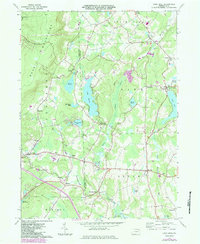
1966 Map of Lake Ariel
USGS Topo · Published 1984About this map
The Moosic Mountains dominate the western horizon of this Wayne and Lackawanna County landscape, where the headwaters of Wallenpaupack Creek and Middle Creek carve through the glacial terrain. In the mid-1960s, the area retained a distinctly rural character defined by small crossroads settlements like Hollisterville, Hamlin, and Cortez. The map reveals a high concentration of recreational and natural water bodies, including Lake Henry, Lake Ariel, and the expansive Silkmans Swamp, indicating the region's long-standing transition from timber and upland farming toward a seasonal lake-based economy.
Find a feature on this map
45 named features on this map. Tap any name to fly to it.
Don’t see what you’re looking for? This feature index may not catch every label — zoom into the map to look around manually.
Map Details
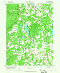
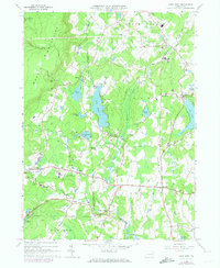
Editions of this 1966 Lake Ariel Map
3 editions found
Other maps of this area

1889 · Scranton
USGS Topo · 1:62,500

1891 · Scranton
USGS Topo · 1:62,500

1892 · Honesdale
USGS Topo · 1:62,500

1892 · Dundaff
USGS Topo · 1:62,500

1893 · Scranton
USGS Topo · 1:62,500

1928 · Ariel
USGS Topo · 1:62,500

1932 · Ariel
USGS Topo · 1:62,500

1943 · Scranton
USGS Topo · 1:125,000

1943 · Honesdale
USGS Topo · 1:125,000

1946 · Olyphant
USGS Topo · 1:24,000
Featured Places
- South Canaan Township, PA
- Sterling Township, PA
- Lake Township, PA
- Red Oak, Jefferson Township
- Saco, Jefferson Township