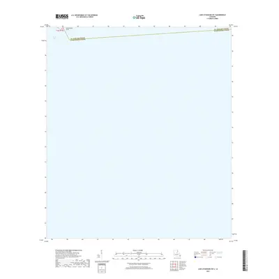
2018 Map of Lake Athanasio OE S
USGS Topo · Published 2018About this map
Mozambique Point stands as a distinct topographic projection into the expansive waters of Black Bay in this 2018 coastal study. Located at the intersection of St. Bernard Parish and Plaquemines Parish, this map illustrates a landscape dominated by the dynamic shifts of the Louisiana delta. The lack of built infrastructure or roads emphasizes the isolation of these coastal wetlands, where land is defined by thin strips of terrain and submerged marshland. It is a specialized record of the deltaic environment, showing the boundary line designated as t16s r17e and the shifting interface between the gulf waters and the fragile marsh interior.
Find a feature on this map
4 named features on this map. Tap any name to fly to it.
Don’t see what you’re looking for? This feature index may not catch every label — zoom into the map to look around manually.
Map Details
Editions of this 2018 Lake Athanasio OE S Map
This is the sole edition of this map. No revisions or reprints were ever made.
Other maps of this area

1892 · Quarantine
USGS Topo · 1:62,500

1893 · La Fortuna
USGS Topo · 1:62,500

1893 · Forts
USGS Topo · 1:62,500

1893 · Dime
USGS Topo · 1:62,500

1935 · Taylor Pass
USGS Topo · 1:31,680

1935 · Lake Athanasio
USGS Topo · 1:31,680

1935 · Lake Calebasse
USGS Topo · 1:31,680

1935 · Tropical Bend
USGS Topo · 1:31,680

1941 · Black Bay
USGS Topo · 1:62,500

1941 · Empire
USGS Topo · 1:62,500