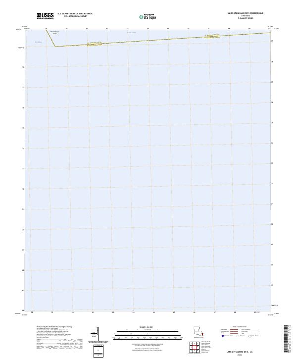
2024 Map of Lake Athanasio OE S
USGS Topo · Published 2024About this map
Breton Sound dominates this coastal area in southeastern Louisiana, where the vast open waters meet the shifting marshland of the Mississippi River delta. The map illustrates the administrative boundary between St. Bernard Parish and Plaquemines Parish, which runs through the northern reaches of the sound. This aquatic environment is characterized by minimal terrestrial features, emphasizing the expansive nature of the Louisiana gulf coast's interior bays and sounds.
Find a feature on this map
6 named features on this map. Tap any name to fly to it.
Don’t see what you’re looking for? This feature index may not catch every label — zoom into the map to look around manually.
Map Details
Editions of this 2024 Lake Athanasio OE S Map
This is the sole edition of this map. No revisions or reprints were ever made.
Other maps of this area

1892 · Quarantine
USGS Topo · 1:62,500

1893 · La Fortuna
USGS Topo · 1:62,500

1893 · Forts
USGS Topo · 1:62,500

1893 · Dime
USGS Topo · 1:62,500

1935 · Taylor Pass
USGS Topo · 1:31,680

1935 · Lake Athanasio
USGS Topo · 1:31,680

1935 · Lake Calebasse
USGS Topo · 1:31,680

1935 · Tropical Bend
USGS Topo · 1:31,680

1941 · Black Bay
USGS Topo · 1:62,500

1941 · Empire
USGS Topo · 1:62,500