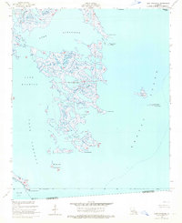
1955 Map of Lake Athanasio
USGS Topo · Published 1965About this map
The labyrinthine marshlands and tidal basins of St. Bernard Parish are defined by the convergence of Lake Athanasio, Lake Machias, and Lake Fortuna in this mid-century coastal survey. This maritime landscape is a complex network of named waterways and islands, where Bayou Frenepiquant and Seven Dollar Bayou weave through the fragmented wetlands. Navigation for the local fishing and oyster fleets of the era was aided by markers like Lake Eloi Light 1 and Mozambique Point Light.
Find a feature on this map
29 named features on this map. Tap any name to fly to it.
Don’t see what you’re looking for? This feature index may not catch every label — zoom into the map to look around manually.
Map Details
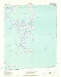
Editions of this 1955 Lake Athanasio Map
2 editions found
Other maps of this area

1893 · La Fortuna
USGS Topo · 1:62,500

1893 · Shell Beach
USGS Topo · 1:62,500

1893 · Dime
USGS Topo · 1:62,500

1895 · Bodreau
USGS Topo · 1:62,500

1935 · Morgan Harbor
USGS Topo · 1:31,680

1935 · Lake Athanasio
USGS Topo · 1:31,680

1935 · Lake Calebasse
USGS Topo · 1:31,680

1939 · Shell Beach
USGS Topo · 1:62,500

1941 · Black Bay
USGS Topo · 1:62,500

1941 · Shell Beach
USGS Topo · 1:62,500