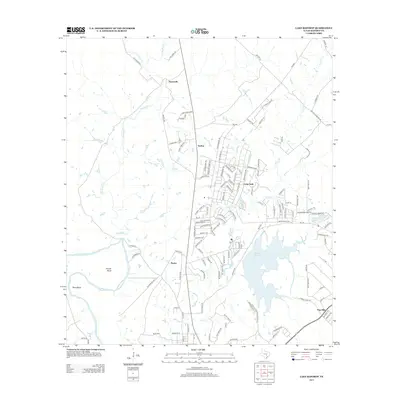
2013 Map of Lake Bastrop
USGS Topo · Published 2013About this map
Camp Swift dominates the central landscape of this Bastrop County survey, reflecting the area's twentieth-century transition from rural farmland to a significant military and recreational footprint. The expansive waters of Lake Bastrop and smaller bodies like Tuck Lake and Sanders Lake highlight the managed water resources of the region. This 2013 edition illustrates the persistent rural character of settlements like Sayersville and Phelan, even as modern residential clusters such as Swiftex and Pine Hills expand. The southern portion of the map is defined by the winding course of the Colorado River, where prominent landforms like Powell Bend, Reed Bend, and Reids Bnd mark the river's path. Local road networks, including Big Sandy Rd and Old Sayers Rd, connect these scattered communities, while the presence of Oak Hill Cemetery Rd serves as a touchstone for those researching local family history and ancestral land use.
Find a feature on this map
128 named features on this map. Tap any name to fly to it.
Don’t see what you’re looking for? This feature index may not catch every label — zoom into the map to look around manually.
Map Details
Editions of this 2013 Lake Bastrop Map
This is the sole edition of this map. No revisions or reprints were ever made.
Other maps of this area

1885 · Bastrop
USGS Topo · 1:125,000

1893 · Bastrop
USGS Topo · 1:125,000

1904 · Bastrop
USGS Topo · 1:125,000

1948 · Smithville
USGS Topo · 1:62,500

1948 · Elgin
USGS Topo · 1:62,500

1948 · Bastrop
USGS Topo · 1:62,500

1948 · Lexington
USGS Topo · 1:62,500

1950 · Lexington
USGS Topo · 1:62,500

1950 · Bastrop
USGS Topo · 1:62,500

1950 · Smithville
USGS Topo · 1:62,500