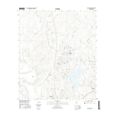
2016 Map of Lake Bastrop
USGS Topo · Published 2016About this map
Camp Swift dominates the central landscape of this 2016 survey, representing a significant military footprint just north of Bastrop. The terrain is defined by the winding course of the Colorado River, which carves distinct geographic features such as Powell Bend, Reed Bend, and Reids Bend into the Texas countryside. To the east, the sprawling Lake Bastrop and several smaller water bodies like Sanders Lake and Hicks Lake illustrate the area's developed water management and recreation infrastructure.
Find a feature on this map
114 named features on this map. Tap any name to fly to it.
Don’t see what you’re looking for? This feature index may not catch every label — zoom into the map to look around manually.
Map Details
Editions of this 2016 Lake Bastrop Map
This is the sole edition of this map. No revisions or reprints were ever made.
Other maps of this area

1885 · Bastrop
USGS Topo · 1:125,000

1893 · Bastrop
USGS Topo · 1:125,000

1904 · Bastrop
USGS Topo · 1:125,000

1948 · Smithville
USGS Topo · 1:62,500

1948 · Elgin
USGS Topo · 1:62,500

1948 · Bastrop
USGS Topo · 1:62,500

1948 · Lexington
USGS Topo · 1:62,500

1950 · Lexington
USGS Topo · 1:62,500

1950 · Bastrop
USGS Topo · 1:62,500

1950 · Smithville
USGS Topo · 1:62,500