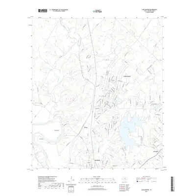
2019 Map of Lake Bastrop
USGS Topo · Published 2019About this map
Camp Swift occupies a significant portion of this central Texas landscape, showing the military installation's proximity to the growing community of Bastrop. The Colorado River carves a winding path through the western edge of the area, creating distinct geographical features like Powell Bend and Reed Bend. This survey illustrates the modern residential and recreational development surrounding Lake Bastrop, where local landmarks such as Sanders Lake and Tuck Lake dot the terrain near the settlement of Phelan. The transition from the river valley to the higher ground of Pine Hills is marked by numerous small tributaries, including Piney Creek and Big Sandy Creek, which historically influenced the placement of early roads like Old Sayers Rd and Old Perkins Rd.
Find a feature on this map
123 named features on this map. Tap any name to fly to it.
Don’t see what you’re looking for? This feature index may not catch every label — zoom into the map to look around manually.
Map Details
Editions of this 2019 Lake Bastrop Map
This is the sole edition of this map. No revisions or reprints were ever made.
Other maps of this area

1885 · Bastrop
USGS Topo · 1:125,000

1893 · Bastrop
USGS Topo · 1:125,000

1904 · Bastrop
USGS Topo · 1:125,000

1948 · Smithville
USGS Topo · 1:62,500

1948 · Elgin
USGS Topo · 1:62,500

1948 · Bastrop
USGS Topo · 1:62,500

1948 · Lexington
USGS Topo · 1:62,500

1950 · Lexington
USGS Topo · 1:62,500

1950 · Bastrop
USGS Topo · 1:62,500

1950 · Smithville
USGS Topo · 1:62,500