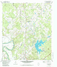
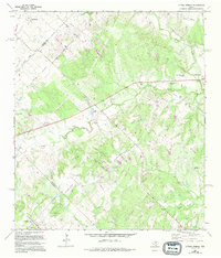
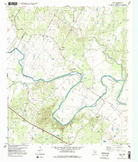
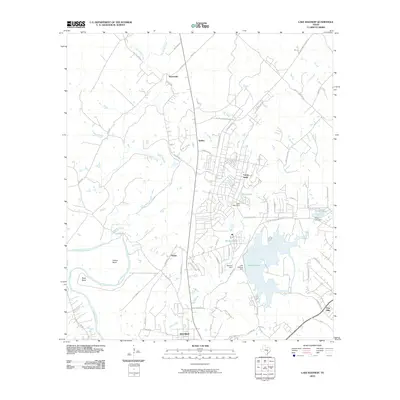
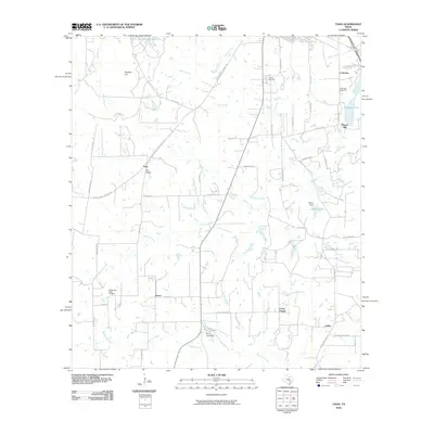
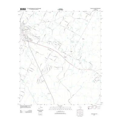
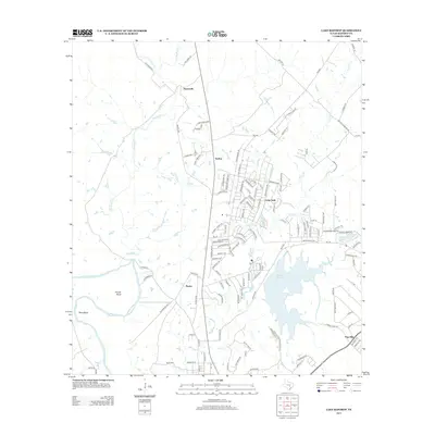
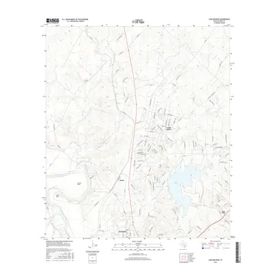
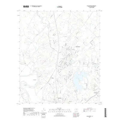
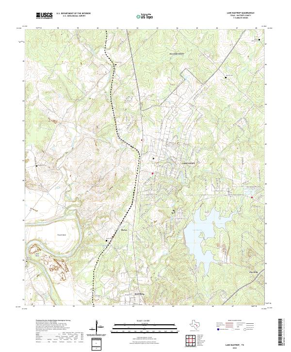
1982 Map of Lake Bastrop
USGS Topo · Published 1985About this map
Lake Bastrop dominates the eastern half of this landscape, its shoreline defining recreational areas like the North Shore Recreation Area and South Shore Recreation Area. The Camp Swift Military Reservation occupies the northern reaches, intersected by a network of drainage branches such as Dogwood Branch and Harris Creek. To the west, the winding course of the Colorado River creates prominent geographic features including Powell Bend and Reed Bend.
Find a feature on this map
35 named features on this map. Tap any name to fly to it.
Don’t see what you’re looking for? This feature index may not catch every label — zoom into the map to look around manually.
Map Details
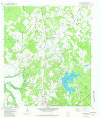
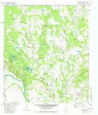
Editions of this 1982 Lake Bastrop Map
2 editions found
Historical Maps of Bastrop Through Time
54 maps found
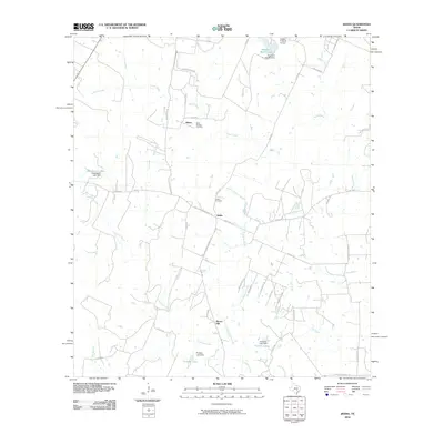
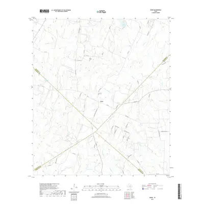
1964 Jeddo
Bastrop County, TX
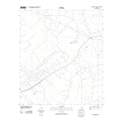
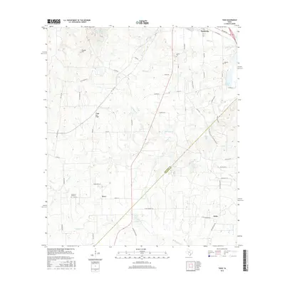
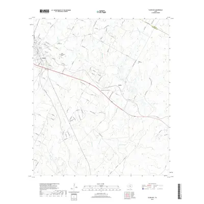
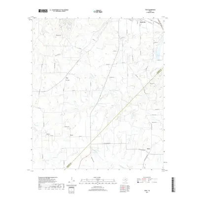
1964 Togo
Bastrop County, TX
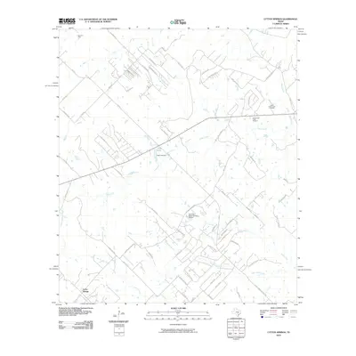
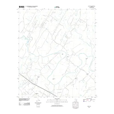
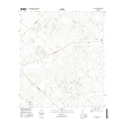
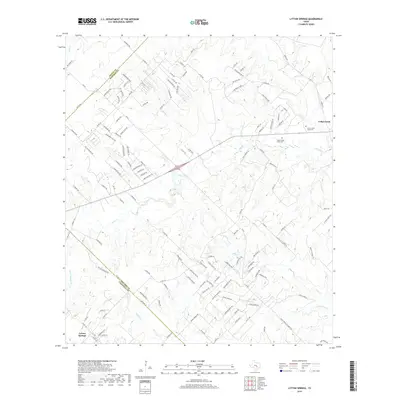
1968 Lytton Springs
Bastrop County, TX
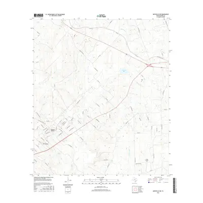
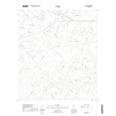
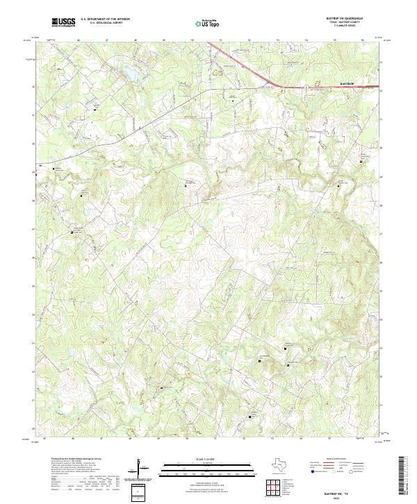
1982 Bastrop SW
Bastrop County, TX
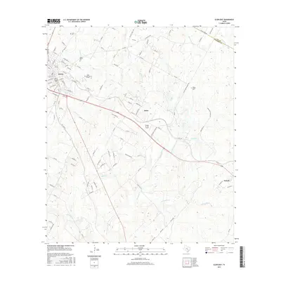
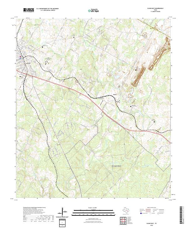
1982 Elgin East
Bastrop County, TX
1982 Lake Bastrop
Bastrop County, TX
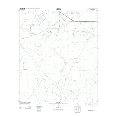
1982 Smithville NW
Bastrop County, TX
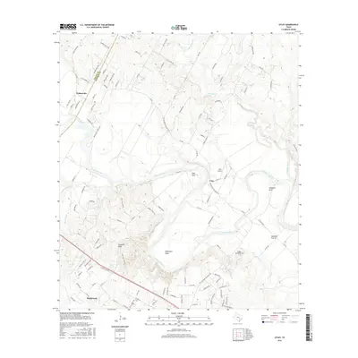
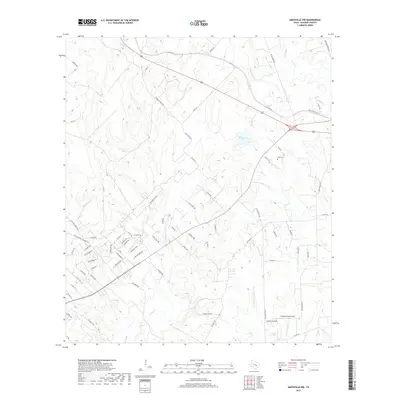
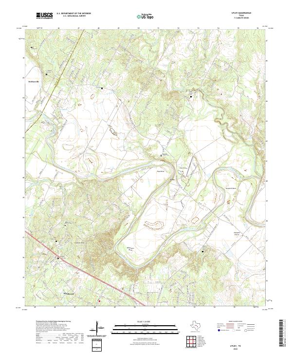
1982 Utley
Bastrop County, TX
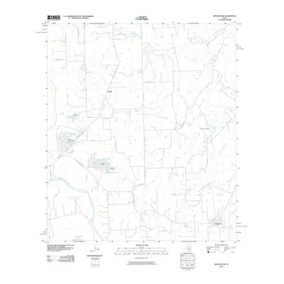
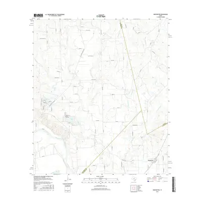
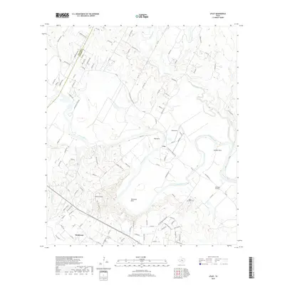
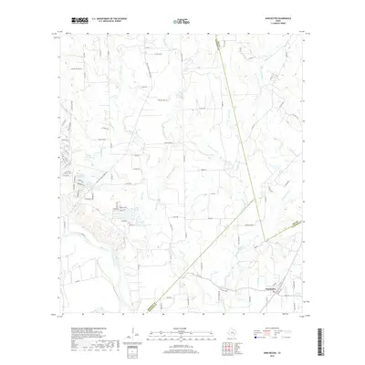
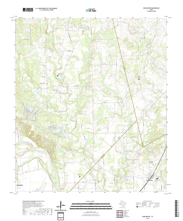
1982 Winchester
Bastrop County, TX
2010 Bastrop SW
Bastrop County, TX
2010 Elgin East
Bastrop County, TX
2010 Jeddo
Bastrop County, TX
2010 Lake Bastrop
Bastrop County, TX
2010 Lytton Springs
Bastrop County, TX
2010 Smithville NW
Bastrop County, TX
2010 Togo
Bastrop County, TX
2010 Utley
Bastrop County, TX
2010 Winchester
Bastrop County, TX
2012 Bastrop SW
Bastrop County, TX
2012 Elgin East
Bastrop County, TX
2012 Lytton Springs
Bastrop County, TX
2012 Smithville NW
Bastrop County, TX
2013 Jeddo
Bastrop County, TX
2013 Lake Bastrop
Bastrop County, TX
2013 Togo
Bastrop County, TX

2013 Utley
Bastrop County, TX
2013 Winchester
Bastrop County, TX
2016 Bastrop SW
Bastrop County, TX
2016 Elgin East
Bastrop County, TX
2016 Jeddo
Bastrop County, TX
2016 Lake Bastrop
Bastrop County, TX
2016 Lytton Springs
Bastrop County, TX
2016 Smithville NW
Bastrop County, TX
2016 Togo
Bastrop County, TX
2016 Utley
Bastrop County, TX
2016 Winchester
Bastrop County, TX
2019 Bastrop SW
Bastrop County, TX
2019 Elgin East
Bastrop County, TX
2019 Jeddo
Bastrop County, TX
2019 Lake Bastrop
Bastrop County, TX
2019 Lytton Springs
Bastrop County, TX
2019 Smithville NW
Bastrop County, TX
2019 Togo
Bastrop County, TX
2019 Utley
Bastrop County, TX
2019 Winchester
Bastrop County, TX
2022 Bastrop SW
Bastrop County, TX
2022 Elgin East
Bastrop County, TX
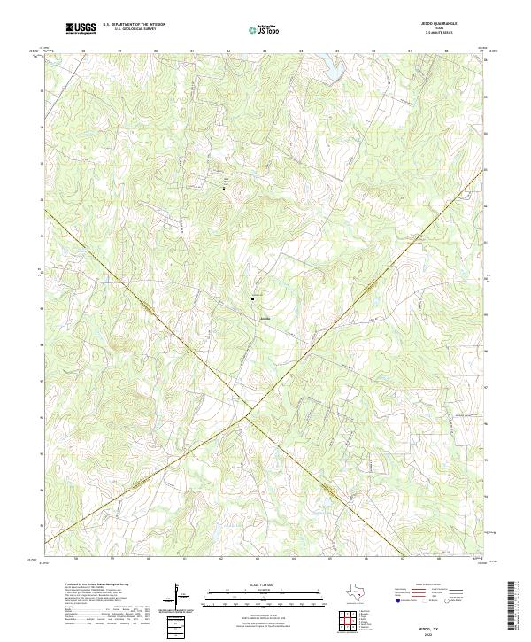
2022 Jeddo
Bastrop County, TX
2022 Lake Bastrop
Bastrop County, TX
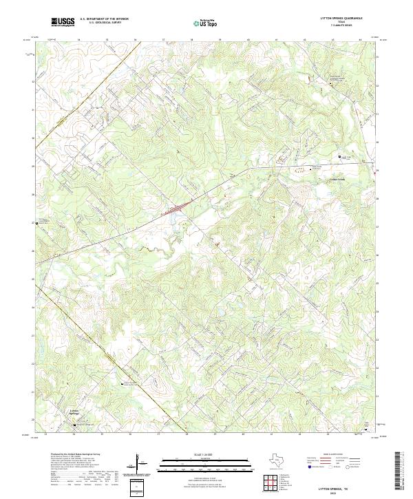
2022 Lytton Springs
Bastrop County, TX
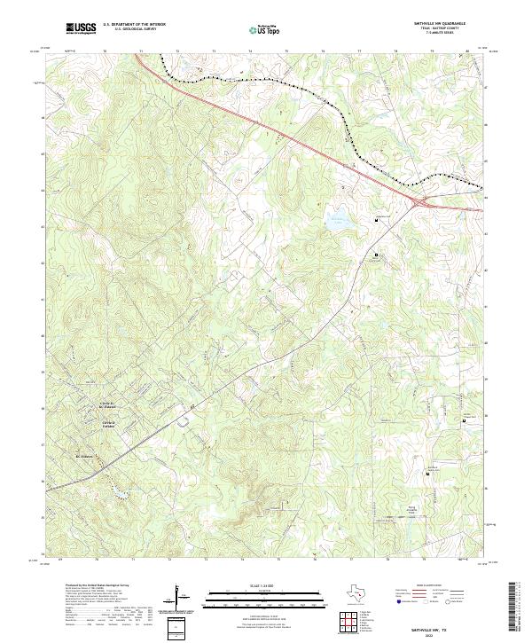
2022 Smithville NW
Bastrop County, TX
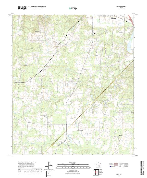
2022 Togo
Bastrop County, TX
2022 Utley
Bastrop County, TX
2022 Winchester
Bastrop County, TX