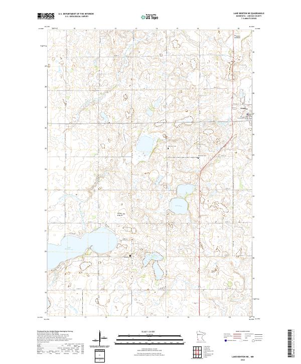
2022 Map of Lake Benton NE
USGS Topo · Published 2022About this map
The town of Ivanhoe, serving as the seat of Lincoln County, anchors the northeastern corner of this landscape situated along the Coteau des Prairies. This highland region, an upland plateau between the Minnesota and Missouri River valleys, defines the local topography and drainage patterns. Water flows through the Yellow Medicine River and its North Branch, while the Judicial Ditch Number Twenty-two illustrates early 20th-century efforts to manage the prairie wetlands for agriculture.
Find a feature on this map
46 named features on this map. Tap any name to fly to it.
Don’t see what you’re looking for? This feature index may not catch every label — zoom into the map to look around manually.
Map Details
Editions of this 2022 Lake Benton NE Map
This is the sole edition of this map. No revisions or reprints were ever made.
Other maps of this area

1953 · Watertown
USGS Topo · 1:250,000

1958 · Watertown
USGS Topo · 1:250,000

1963 · Tyler
USGS Topo · 1:24,000

1963 · Arco
USGS Topo · 1:24,000
1967 · Porter SW
USGS Topo · 1:24,000

1967 · Lake Benton NW
USGS Topo · 1:24,000

1967 · Lake Benton
USGS Topo · 1:24,000

1967 · Canby SE
USGS Topo · 1:24,000

1967 · Lake Benton SW
USGS Topo · 1:24,000

1967 · Hendricks
USGS Topo · 1:24,000